Scenic Area
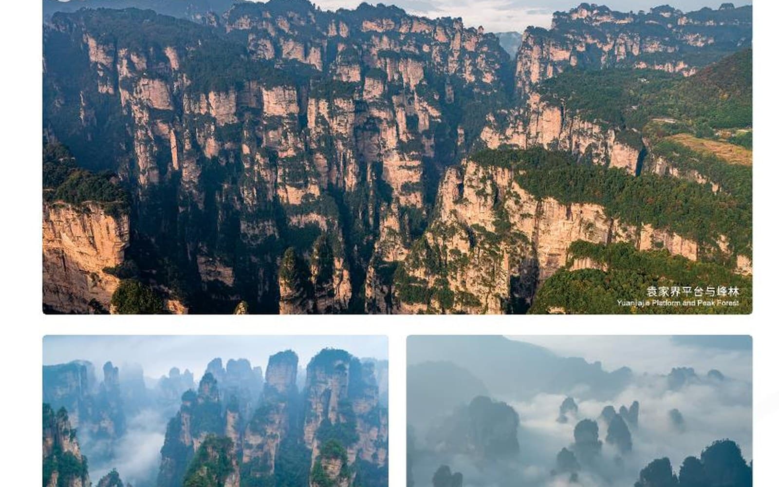
Yuanjiajie
Iconic sandstone pillars viewed from a high plateau, with vertical transport and more steps shaping the visit.
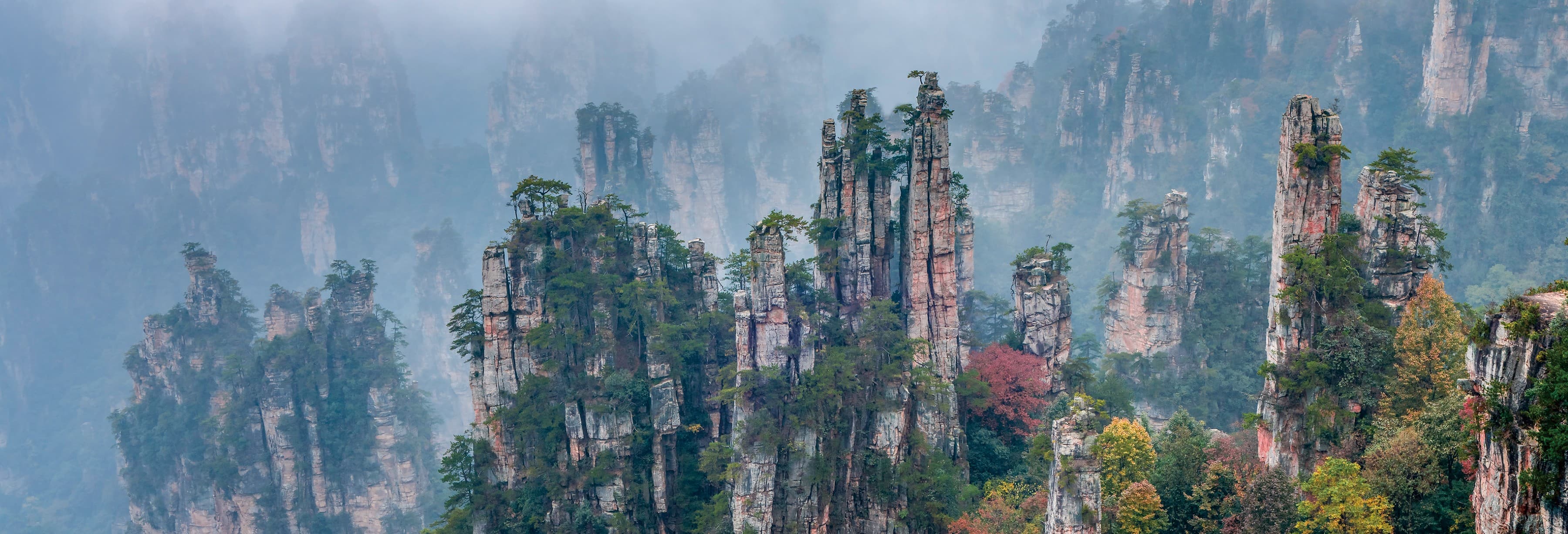
Zhangjiajie's eight essential scenic areas extend from Tianmen Mountain above the city to Wulingyuan's peak forests, valleys, cave and highland lake. Compare their character here, then connect your choices into one workable journey.
Three contrasting places to begin exploring Zhangjiajie.
Iconic sandstone pillars viewed from a high plateau, with vertical transport and more steps shaping the visit.
 AI-GENERATED CONCEPT · PLACEHOLDER ONLY
A separate city-side karst mountain defined by Tianmen Cave, the long cableway, exposed summit paths and the 999-step Heavenly Ladder.
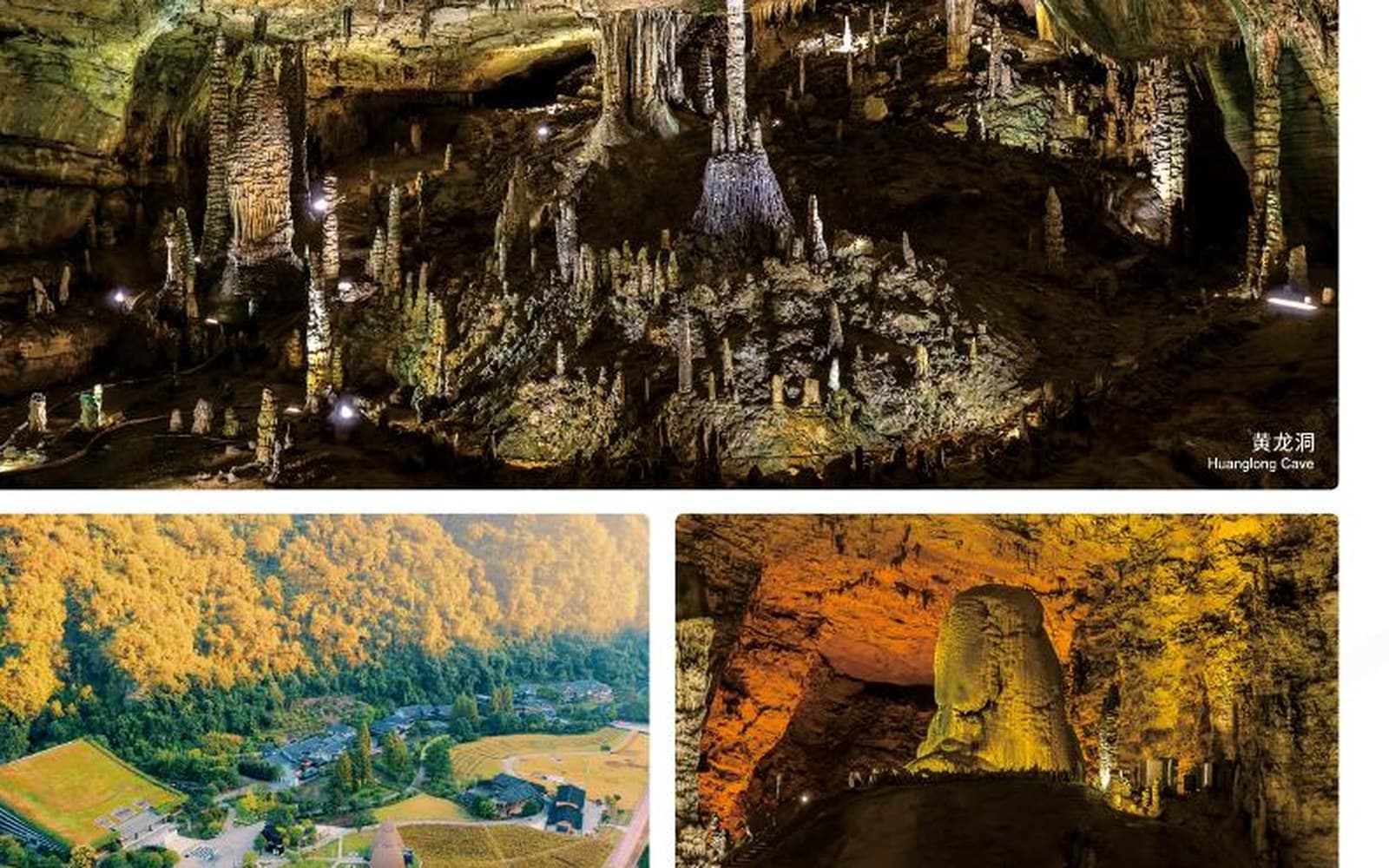
Yellow Dragon Cave (Huanglong Cave) is a large karst system with underground chambers, formations and a managed visitor route.
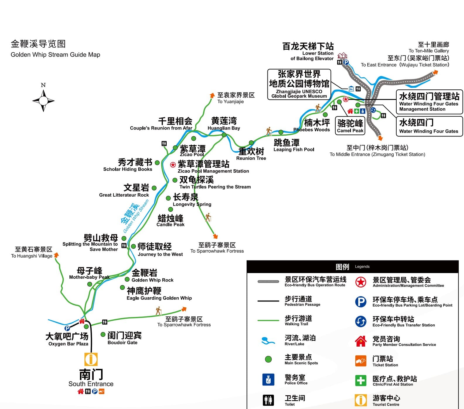
Entrances, shuttle links, lifts and walking direction matter before places are grouped into one day.
Route planning guide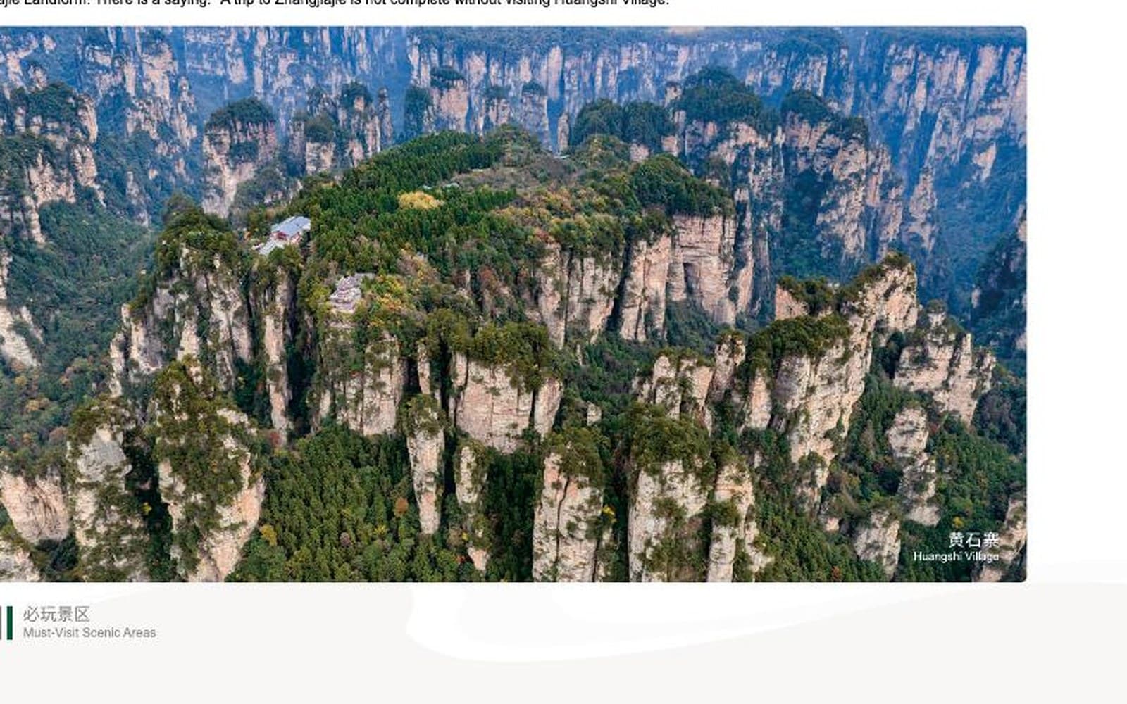
Distance alone does not describe a mountain day. Compare steps, elevation changes and time on foot.
Walking guide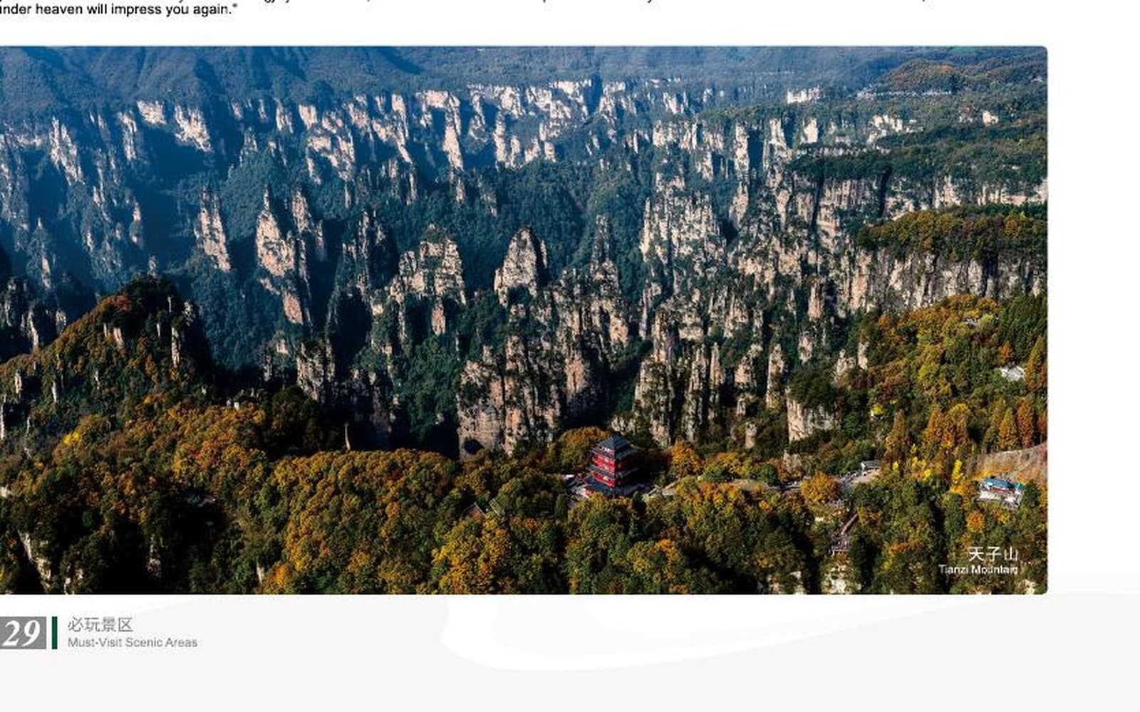
Mist can hide a viewpoint or transform it. A resilient route keeps sensible alternatives available.
Weather planning guideMy Zhangjiajie records preferences, not purchases. Route feasibility is checked before an itinerary is proposed.