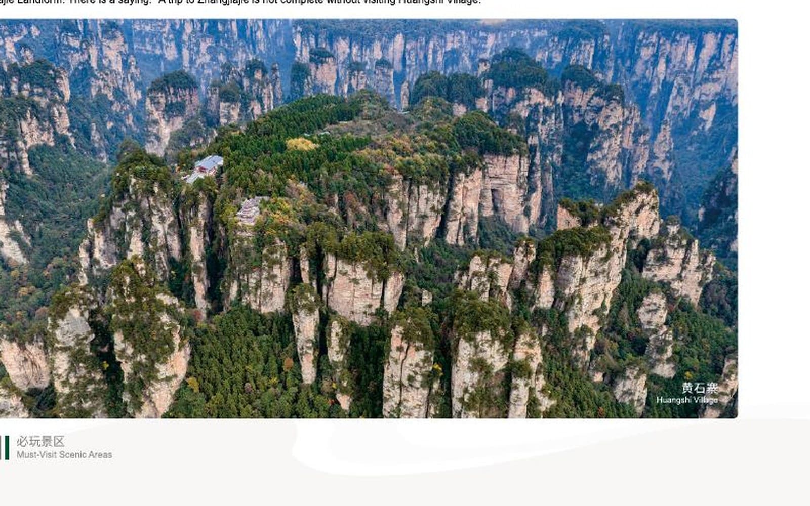
 Classic plateau loop
One day · Difficulty 3 / 5
Huangshi Village Hiking Route
A South Gate circuit with approximately 0.6 km at entry, 2 km uphill, 2.5 km around the grand loop and 2.5 km downhill.
- Start / finish
- South Gate
- Manual source
- pp. 63–64
Walk beyond the viewpoints
Start with the walking
The Tour Guide Manual separates these routes by duration, difficulty and actual trail sequence—not by a generic list of highlights. That distinction leads this page.
Use the route cards to compare effort. Open the trail atlas to understand how gates, shuttles and walking sections connect.Open the trail atlas →Featured hiking routes
Classic plateau loopOne day · Difficulty 3 / 5
A South Gate circuit with approximately 0.6 km at entry, 2 km uphill, 2.5 km around the grand loop and 2.5 km downhill.
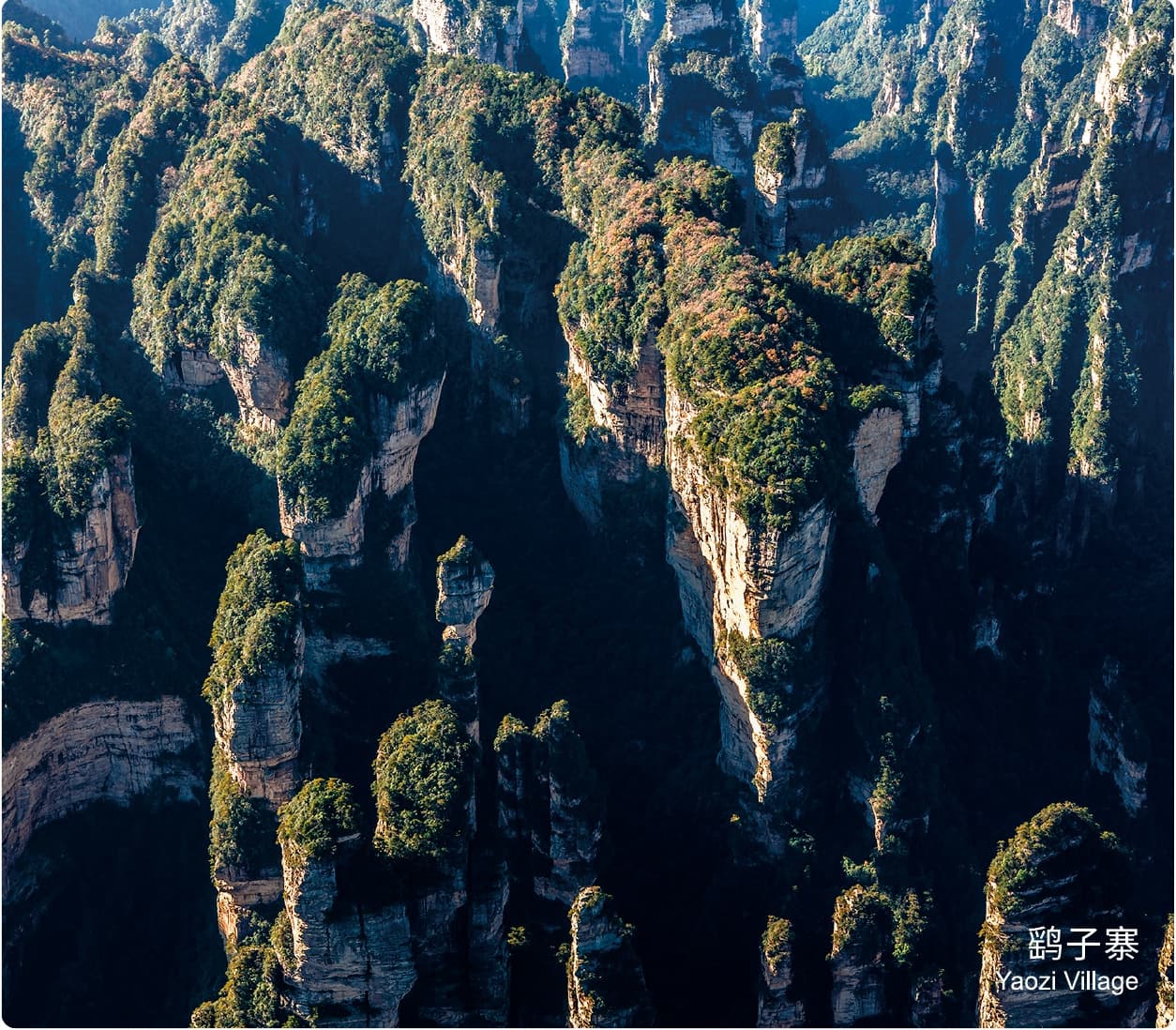 Secluded double-layer trail
One day · Difficulty 5 / 5
The Manual's hardest route: approximately 8.5 km across an upper cliff circuit, Echoing Valley and Golden Whip Stream, ending at a different gate.
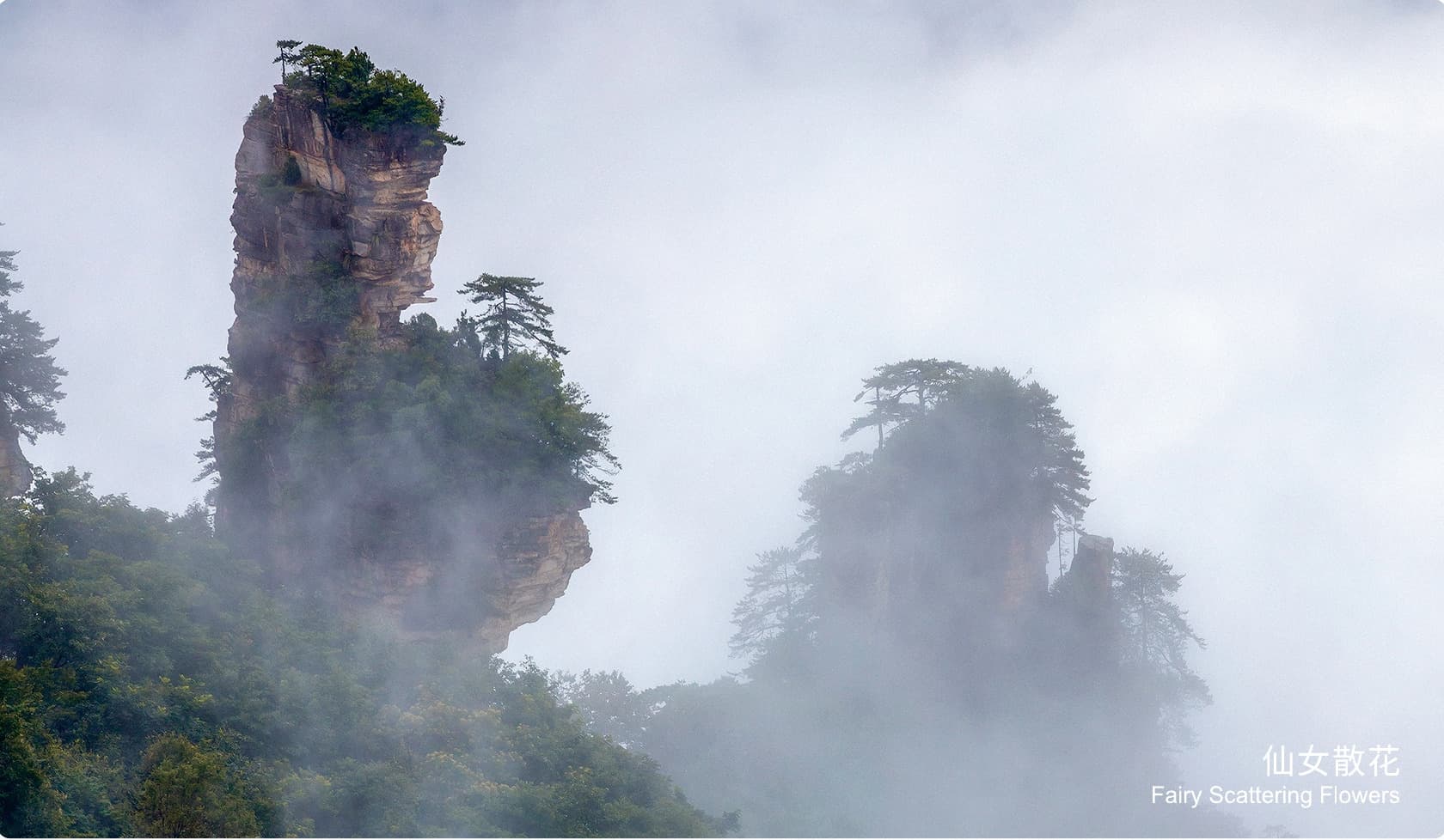 Valley-to-summit traverse
One day · Difficulty 4 / 5
An East Gate circuit with approximately 5.8 km on foot from Ten-Mile Gallery through Lying Loong Ridge and Helong Park to Tianzi Mountain.
For a more remote rhythm
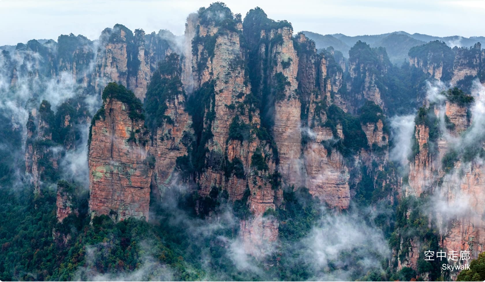 Hard mountain crossing
One day · Difficulty 4 / 5
A West Gate crossing through Yangjiajie and Yuanjiajie, then approximately 10.6 km on foot to Golden Whip Stream and the East Gate.
 Rugged half-day
Half day · Difficulty 2 / 5
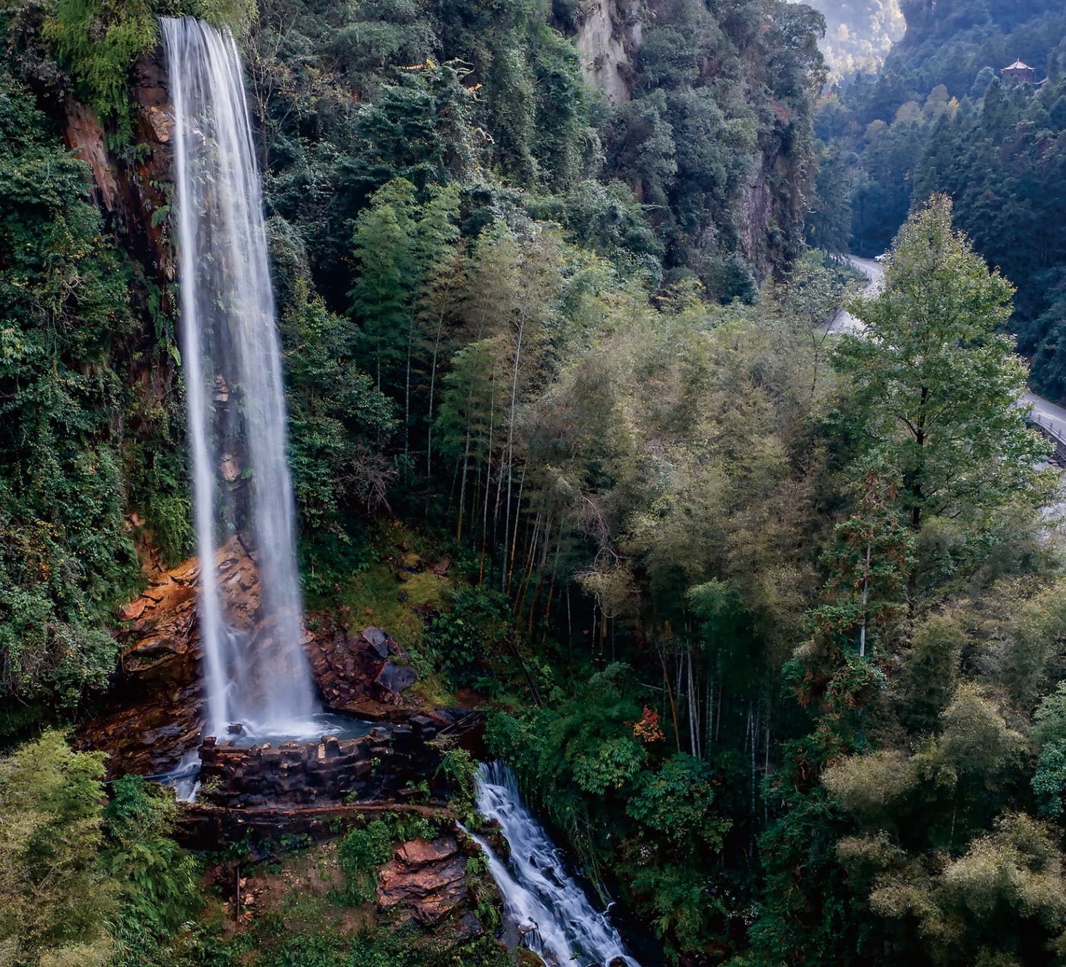
A 2.5 km cliff-fortress circuit via Baofeng Waterfall, beginning and ending at Baofeng Lake Ticket Station.
Programmatic route reconstruction
Circular plateau route
South Gate → Front Mountain Trail → Huangshi Village Grand Loop → Back Mountain Trail → South Gate.
Before you choose
The 2–5 scale follows the Tour Guide Manual. The hardest route remains clearly identified as difficulty 5.
South, East, West and Baofeng Lake gates are not interchangeable. Accommodation and transfers must follow the route direction.
Mist can transform a walk and remove a viewpoint. The final order still needs current trail, transport and visibility checks.
Start with the route that feels right