 OFFICIAL TOUR GUIDE MANUAL · MOUNTAINEERING ROUTE
Cliffs above.
A stream below.
A South-to-East Gate crossing that pairs Yaozi Village's rugged upper circuit with the calmer floor of Golden Whip Stream.
First the exposed heights.
Then the sheltered valley.
The route's power comes from contrast. Yaozi Village brings sheer cliffs, elevated forest and a secluded mountain loop; Golden Whip Stream changes the rhythm to water, shade and primitive tranquillity.
That contrast has a cost: long walking, repeated elevation and a finish gate far from the start. It must be chosen for the complete route, not one photograph.
Up to the loop.
Down to the stream.
Out through another gate.
The upper Yaozi section returns through Echoing Valley before the route joins Golden Whip Stream and continues east to Water Winding Four Gates.
Seven stages.
Two landscapes.
The Manual records walking sections and a final shuttle relationship, not guaranteed timings. The order only works when pace, daylight and current access align.
- 01South GateEntry walkBegin at Forest Park Ticket Station and reach Oxygen Bar Plaza
- 02Echoing ValleyValley approachMove beyond the plaza toward the Yaozi Village trail
- 03Yaozi ascentSteep mountain walkingClimb from the valley to the upper peak-forest route
- 04Yaozi Grand LoopApprox. 2 km on footComplete the high circuit before returning to Echoing Valley
- 05Golden Whip StreamLower valley walkingExchange exposed cliffs for shaded water and forest
- 06Four GatesValley exitReach Water Winding Four Gates for the final transfer
- 07East GateApprox. 17.4 km shuttleFinish at a different gate from the morning start
Rugged above.
Quiet below.
The transition between Yaozi Village and Golden Whip Stream is the reason to walk the full crossing rather than treat either place as a detached stop.
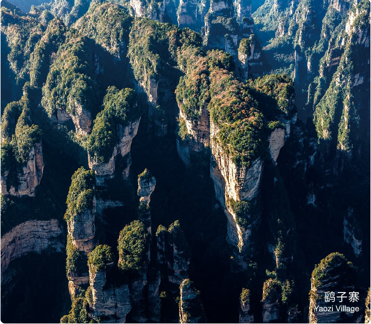
Cliffs and peak forest.
The Manual highlights rugged trekking, sheer walls and elevated views including Sword to the Sky and the height of Thrill.
- Character
- Exposed and rugged
- Core circuit
- Approx. 2 km
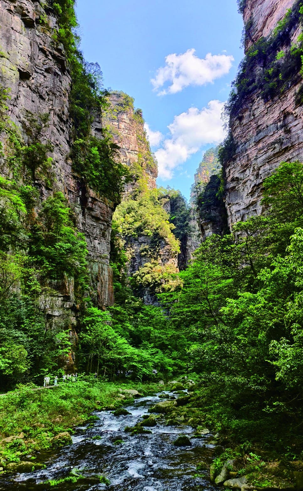
Water and forest shade.
The route descends into the calmer soundscape of Golden Whip Stream before continuing toward Water Winding Four Gates.
- Character
- Shaded and linear
- Direction
- Toward East Gate
The hardest route
ends with quiet.
After the concentrated effort and exposure of Yaozi Village, Golden Whip Stream changes the day's scale. The mountain rises around the walker instead of opening beneath them.
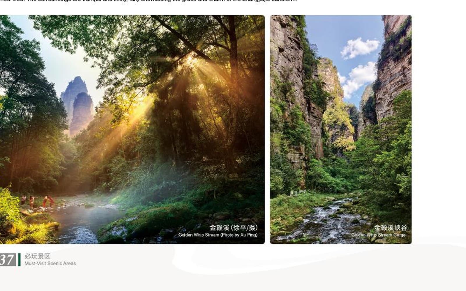
Peak forest above · stream valley belowTHE MANUAL'S TWO-LEVEL LANDSCAPE
Carry the day
with you.
The official route guide does not assign a lunch stop. Food, water and the ability to carry them belong to the route decision, not an afterthought.
Plan the finish
before the start.
One full day
The Manual presents the upper circuit and lower stream as a single demanding day.
Official rating 5 / 5
This is the highest-rated hike in the Manual's recommended route set.
Bring your own
The official guide explicitly records self-carried food rather than a lunch stop.
South to East
Accommodation and return transport must respect the different start and finish gates.
Match the difficulty.
Connect the gates.
Tell us about hiking experience, comfort with rugged elevation, food needs and how the South-to-East Gate transfer should fit the wider stay.
Source: Tour Guide Manual, PDF page 37 / printed pages 65-66. Official route map, distances, difficulty and photography adapted under the user-confirmed authorisation. This page is a planning guide, not live trail navigation.