 OFFICIAL TOUR GUIDE MANUAL · VALLEY-TO-SUMMIT CIRCUIT
Begin below.
Finish in cloud.
A complete East Gate circuit that climbs from Ten-Mile Gallery to Tianzi Mountain, moves across the summit network and returns through South Heavenly Gate.
Look up from the valley.
Look down from the summit.
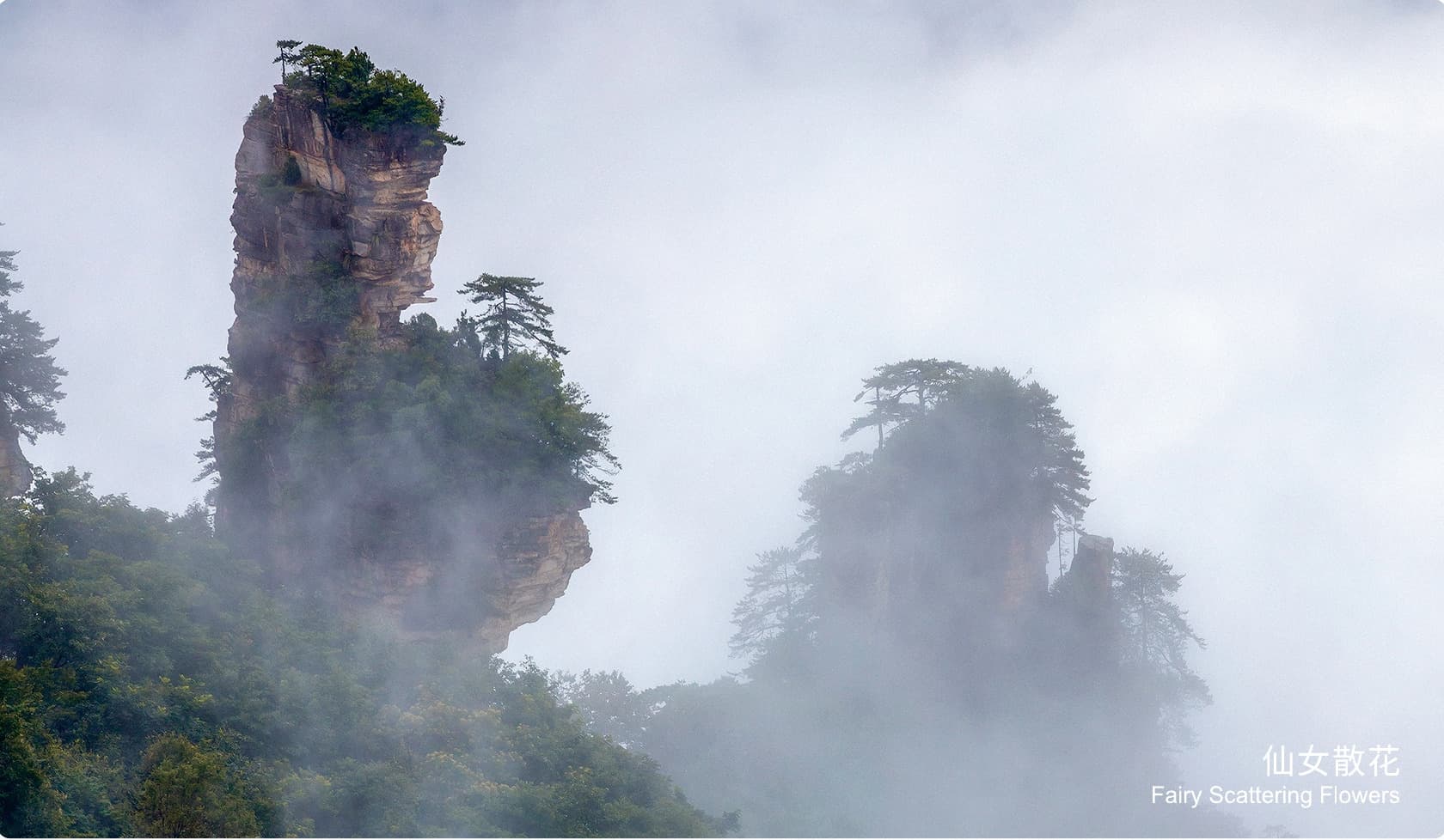
The Manual describes an all-day scenic corridor: Ten-Mile Gallery frames the peaks from below, Lying Loong Ridge gains the height, and Tianzi Mountain opens the same peak forest from above.
It is also a transport-aware hike. Three recorded shuttle sections connect walking branches that would otherwise sit far apart; the route succeeds only when those transfers, the climb and daylight are planned as one system.
Climb once.
Branch across the top.
Descend to close the loop.
The diagram preserves the Manual's sequence: East Gate to Ten-Mile Gallery, up Lying Loong Ridge, across the Tianzi summit branches, then down through South Heavenly Gate.
Valley.
Summit.
Return.
The Manual records four walking segments totalling about 5.8 km alongside 8 km, 7.5 km and 13.9 km shuttle relationships. These are route distances, not promised timings.
- 01East GateCircuit departureEnter through Wujia Yu Ticket Station and join the scenic transport network
- 02Ten-Mile GalleryValley floorBegin beneath the sandstone peaks before committing to the ridge climb
- 03Lying Loong RidgeApprox. 1.5 km on footClimb from the valley to Helong Park on the Tianzi summit network
- 04Helong ParkApprox. 1.5 km on footTour the summit viewpoints and use the Manual's recorded lunch stop
- 05Grand Viewing Terrace7.5 km shuttle + 500 m walkTransfer west, then complete the short viewpoint branch
- 06Sky Farmland8 km shuttle branchFollow the upper road via Three-way Junction and return the same way
- 07South Heavenly GateApprox. 2.3 km on footDescend from Tianzi Mountain through the natural stone-arch route
- 08East Gate return13.9 km shuttleReconnect at Sansuo Junction and close the East Gate circuit
A corridor below.
A horizon above.
The route's defining experience is the shift in scale: the valley makes the formations feel vertical and close; the summit reveals how widely the peak forest extends.
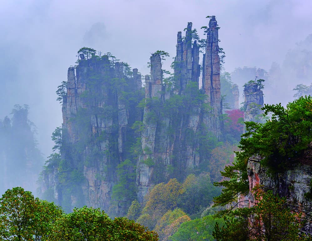
Imperial Brush Peak.
The Manual names this formation among the Helong Park views encountered after the ascent.
- Sequence
- After Lying Loong Ridge
- Lunch base
- Helong Park
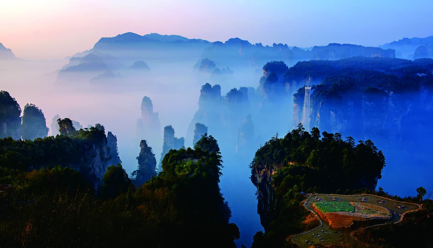
Cloud changes the view.
Tianzi's distant perspectives can open, disappear and return quickly. Visibility shapes the order and value of the summit branches.
- Character
- Elevated and exposed
- Planning need
- Current conditions
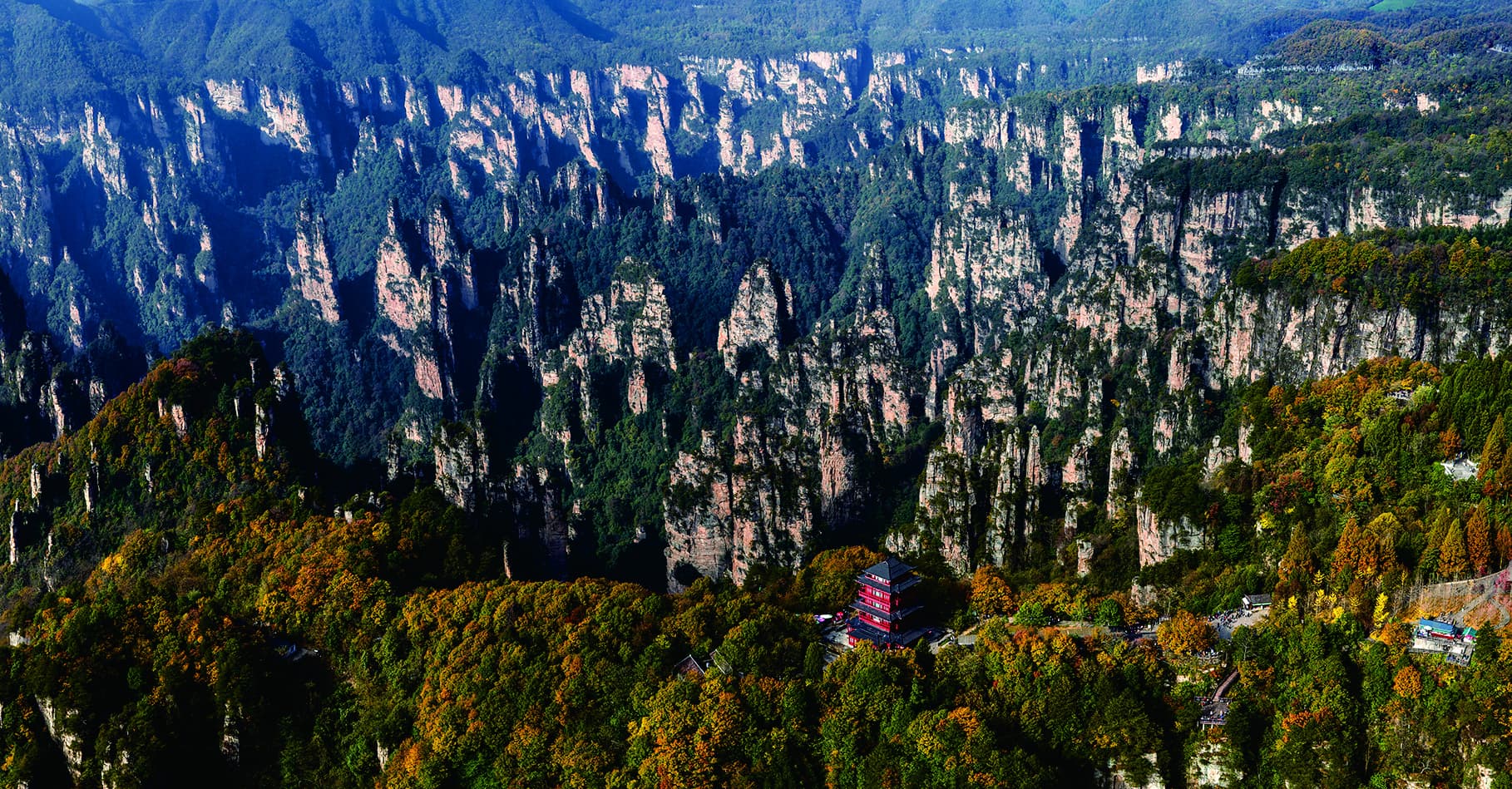
The valley becomes
a field of peaks.
From the summit network, forest, terraces and sandstone towers form one layered horizon. The route earns this perspective by starting at their base.
One scenic corridor · two opposing viewsFROM VALLEY FLOOR TO MOUNTAIN TOP
Pause at
Helong Park.
The official guide places lunch at Helong Park, after the ridge climb and before the wider summit branches. It is the natural point to reassess weather, pace and the return.
Treat every transfer
as part of the hike.
One full day
The Manual combines the valley ascent, summit branches and return into one continuous circuit.
Official rating 4 / 5
The concentrated ridge climb and later descent make this an active mountain day.
Helong Park
The official guide records Helong Park as the recommended lunch venue.
Stay near East Gate
An East Gate base supports the route's circular start and finish logic.
Match the climb.
Sequence the summit.
Tell us about walking comfort, which summit branches matter most and how weather flexibility should shape the East Gate day.
Source: Tour Guide Manual, PDF page 38 / printed pages 67-68. Official route map, distances, difficulty and photography adapted under the user-confirmed authorisation. This page is a planning guide, not live trail navigation.