 OFFICIAL TOUR GUIDE MANUAL · WEST-TO-EAST CROSSING
Across the heights.
Down to the stream.
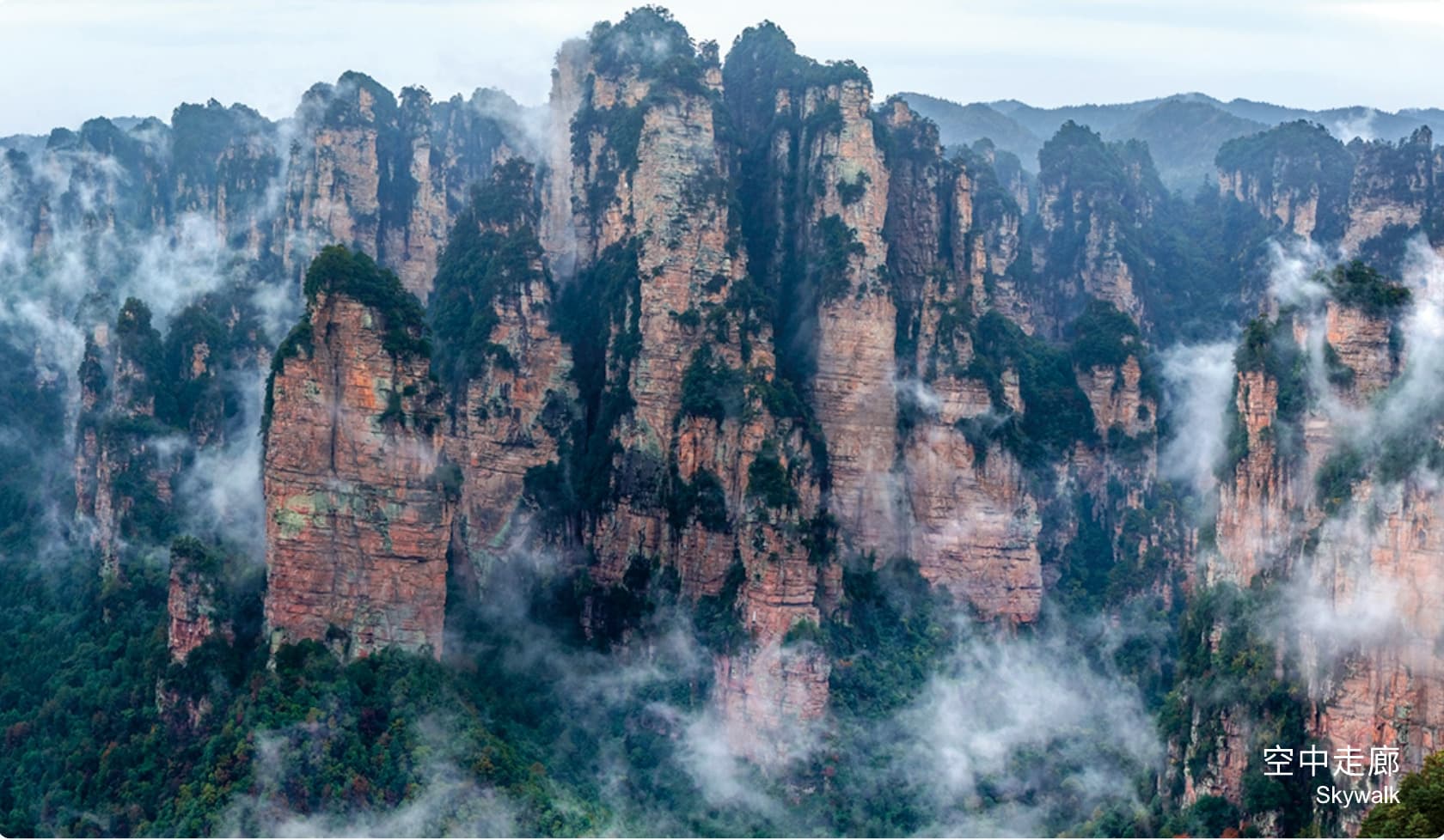
A one-direction traverse from Yangjiajie's rugged cliffs through Yuanjiajie, then down Luancuanpo into the calm of Golden Whip Stream.
Three landscapes.
One continuous descent.
Yangjiajie brings hard-edged cliffs and adventurous upper paths; Yuanjiajie opens its celebrated mountain-top formations; Golden Whip Stream returns the traveller to water, shade and primitive forest.
The official warning matters as much as the scenery: the West Gate start and East Gate finish are far apart. This route must be planned as a crossing, never as a casual out-and-back.
Enter west.
Cross the plateau.
Leave east.
The main line finishes at East Gate. Only after reaching Golden Whip Stream does the Manual offer a separate 4 km walking alternative toward South Gate.
Seven stages.
No simple return.
The recorded 10.6 km main line combines five walking sections. The South Gate alternative adds another 4 km and replaces, rather than supplements, the East Gate finish.
- 01West Gate1.5 km shuttleReach the lower station of Yangjiajie Cableway
- 02Yangjiajie ascentApprox. 3 km on footClimb into the rugged upper landscape
- 03Yangjiajie tourApprox. 1 km on footCross the Skywalk and upper viewpoints
- 04Yuanjiajie3.8 km shuttle + 1.5 km walkTour No. 1 Bridge and pause for lunch
- 05LuancuanpoApprox. 1.6 km on footDescend from the mountain-top network
- 06Golden Whip StreamApprox. 3.5 km on footFollow the valley to Water Winding Four Gates
- 07East GateApprox. 17.4 km shuttleFinish far from the West Gate start
Mountain drama.
Valley quiet.
The route's editorial rhythm follows its elevation: first the exposed formations of the plateau, then the long descent, finally the cooler stream corridor.
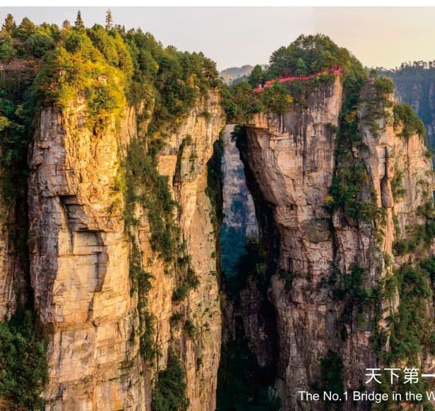
Yuanjiajie's natural bridge.
The No. 1 Bridge anchors the transition from Yangjiajie to the Yuanjiajie tour.
- Lunch
- Yuanjiajie
- Tour walk
- Approx. 1.5 km
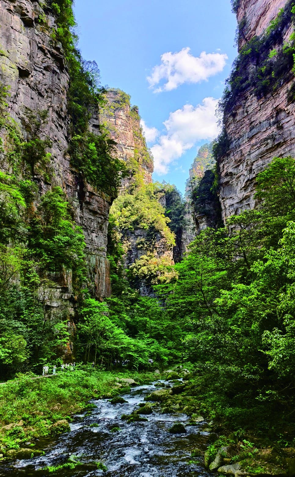
Golden Whip Stream.
After Luancuanpo, water and forest replace the broad mountain-top horizon.
- Stream walk
- Approx. 3.5 km
- Main exit
- East Gate
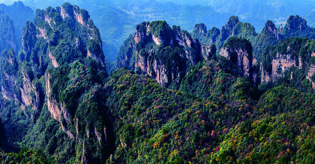
Rugged ridges
set the pace.
Yangjiajie is not a decorative opening. Its cliffs, upper paths and 3 km approach establish the physical demand of everything that follows.
West Gate heights · East Gate valleyONE DIRECTION, THREE LANDSCAPES
The finish is
far from the start.
The Manual explicitly asks travellers to choose accommodation around the distant start and finish. Return transport is a defining part of this route, not an end-of-day detail.
Commit to the crossing.
Choose the exit.
One full day
The Manual treats the mountain crossing and stream exit as one demanding day.
Official rating 4 / 5
Long walking and a sustained descent require confident mountain pace.
Yuanjiajie
The official route assigns the midday stop before Luancuanpo.
West to East
Accommodation and return transport must be planned before departure.
Match the distance.
Connect the gates.
Tell us about hiking experience, descent comfort, the preferred exit and how the West-to-East transfer should fit the wider stay.
Source: Tour Guide Manual, PDF page 39 / printed pages 69-70. Official route map, distances, difficulty and photography adapted under the user-confirmed authorisation. This page is a planning guide, not live trail navigation.