
01
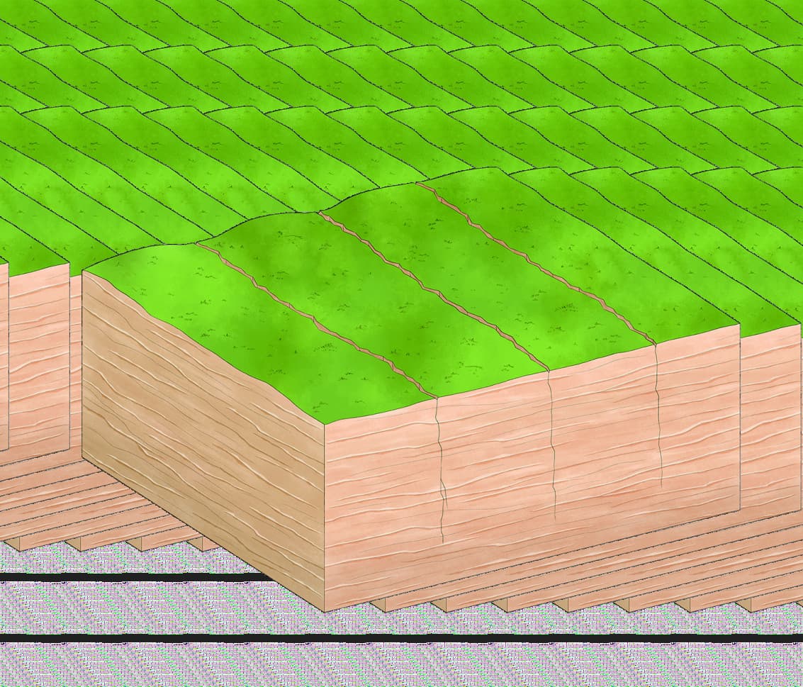
Vertical joints
Parallel joints form within the sandstone platform.

Long peak walls, deep ravines and a more active western mountain route—beautifully rugged, and best shaped around how you want to walk.
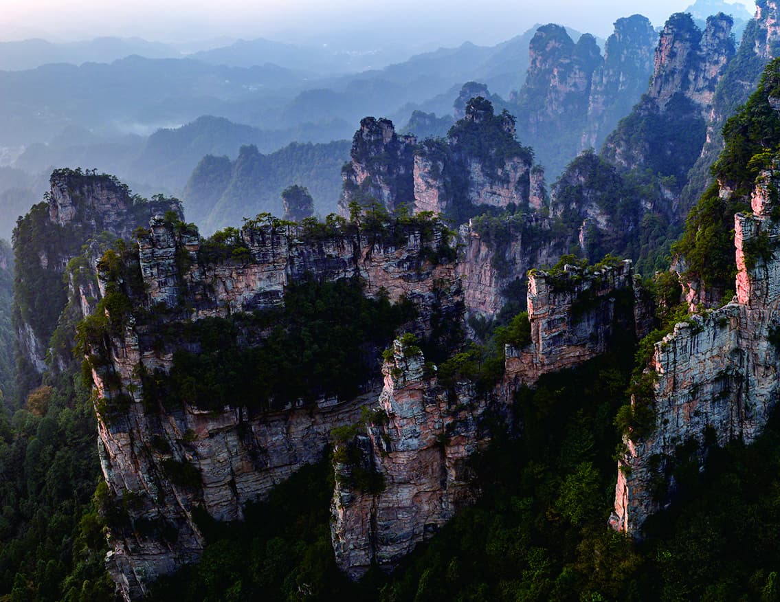
Yangjiajie is not a single viewpoint. It is a network of long quartz-sandstone walls, forested ravines and branching paths.
Natural Great Wall gives the area its defining panorama. Wulong Village and the deeper upper route add a more active mountain sequence. Save what matters first; then choose the entrance, cableway and walking branch that fit the day.
Read the route before choosing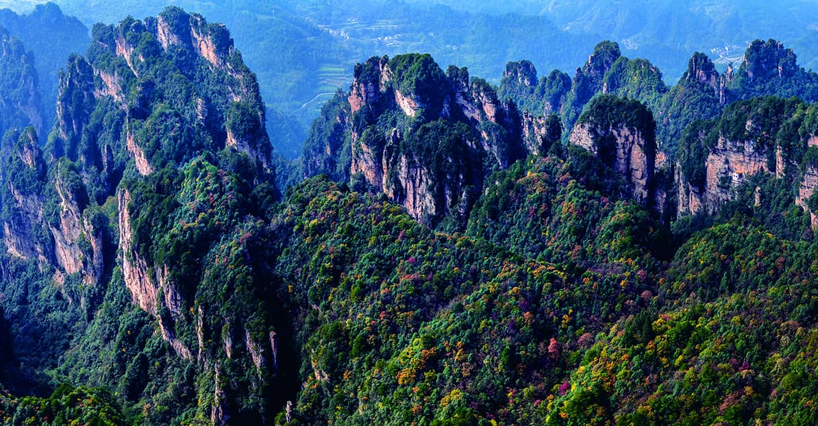
The landscape changes from isolated pillars into repeated, near-parallel walls.
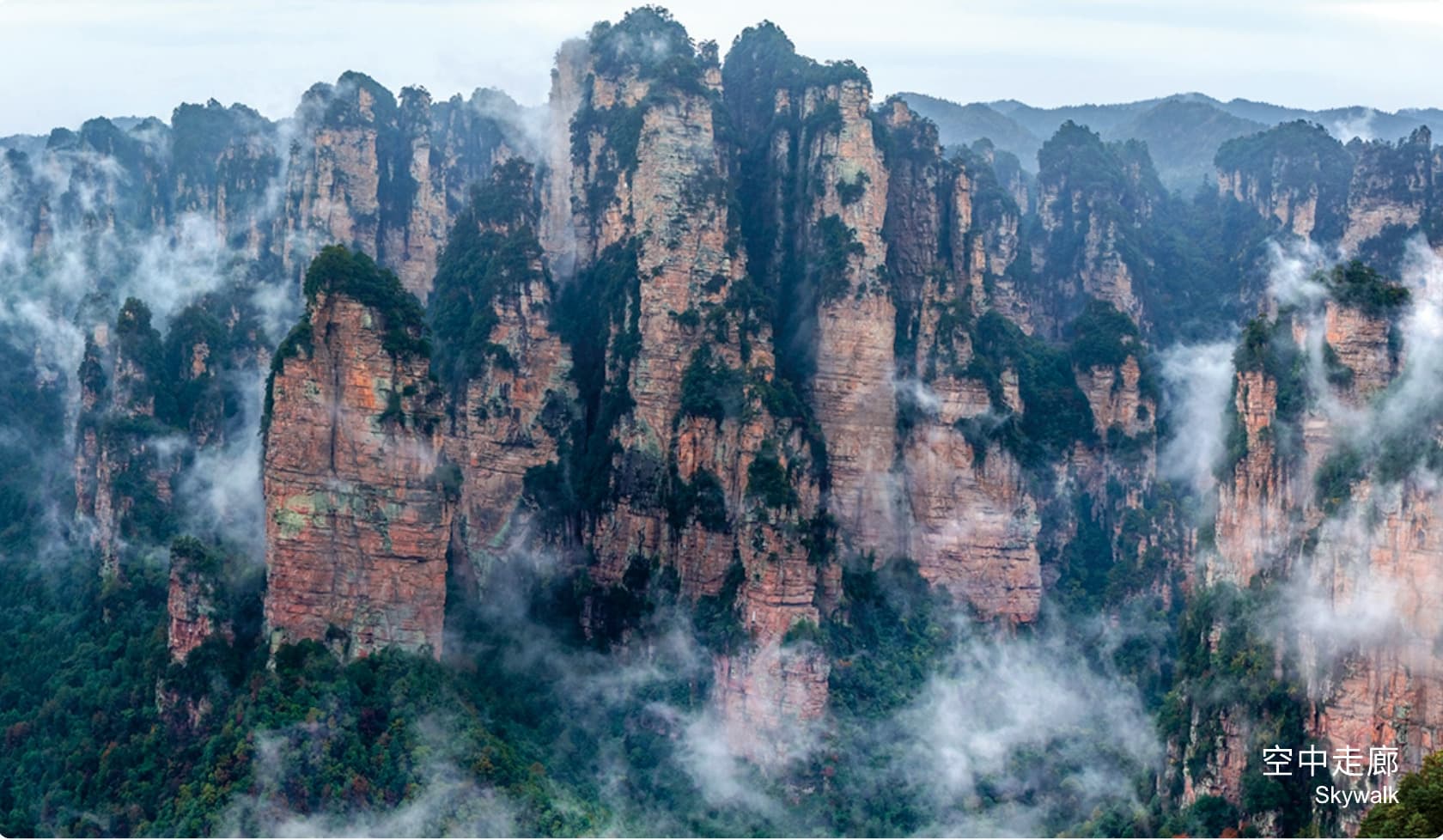
Seen from across the ravine, forest softens the sandstone edges while the wall-like arrangement remains unmistakable. The effect is broad and rhythmic: less about one named rock, more about how successive ridges hold the horizon.
“Many scenic spots are closely connected with the Yang family generals.”Tour Guide Manual · authorised English adaptation
The official map is a network, not a straight sightseeing line. This responsive reconstruction keeps the essential relationships visible without pretending to replace current operating guidance.
Both places belong to the same mountain story, but they ask for different effort. Start with the view; extend the walk only if it serves your group.
Four official Manual diagrams turn the geology into a simple visual sequence.
Parallel joints form within the sandstone platform.
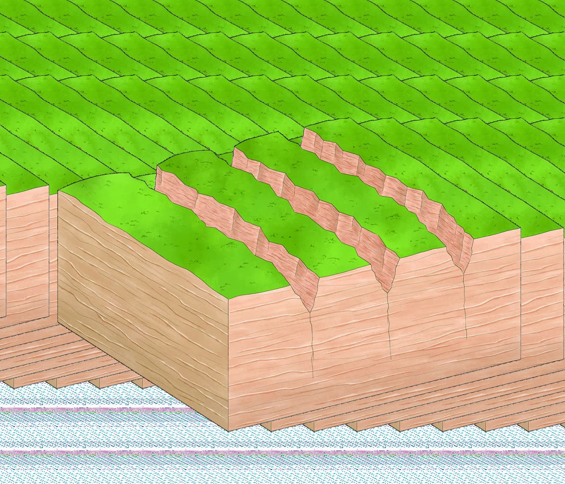
Runoff enlarges the joints and begins carving ravines.
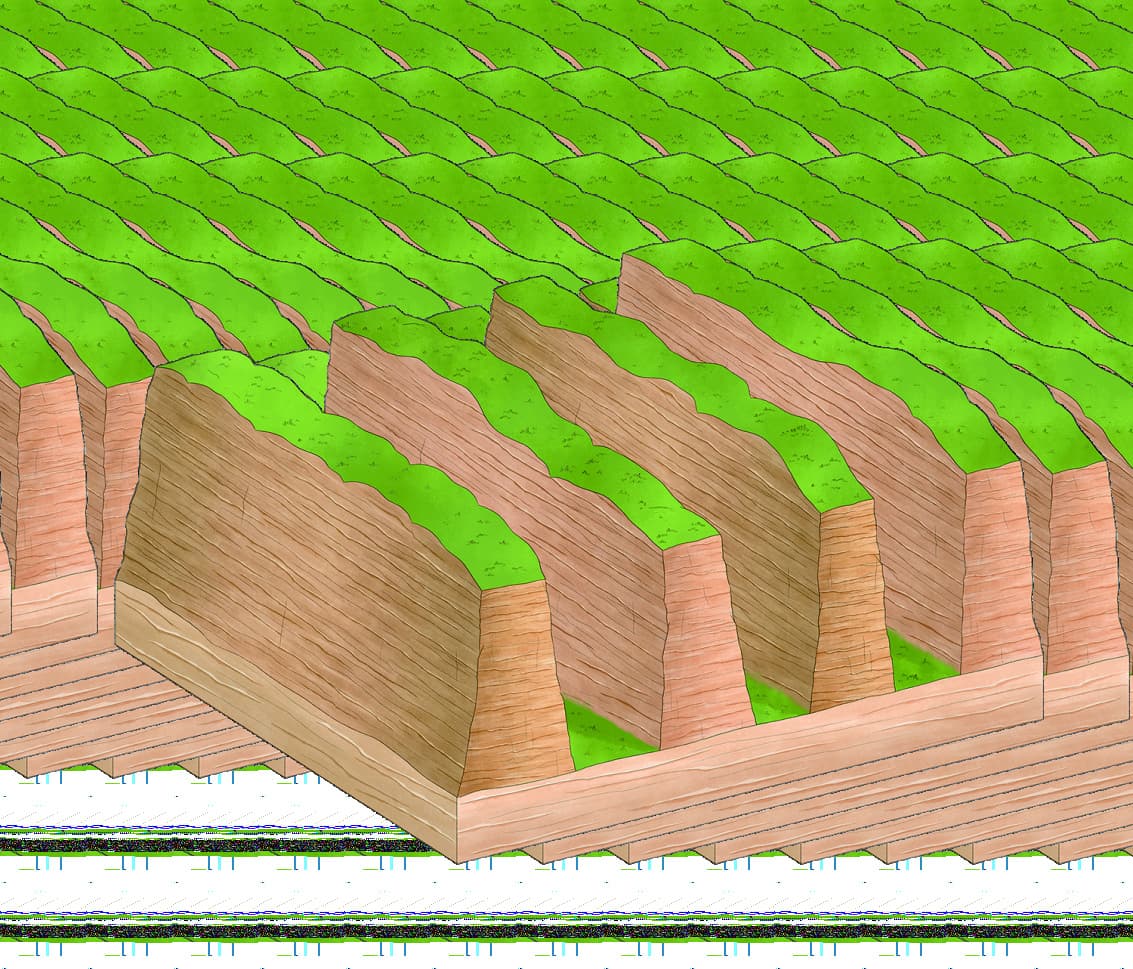
Persistent erosion cuts deeper between the ridges.
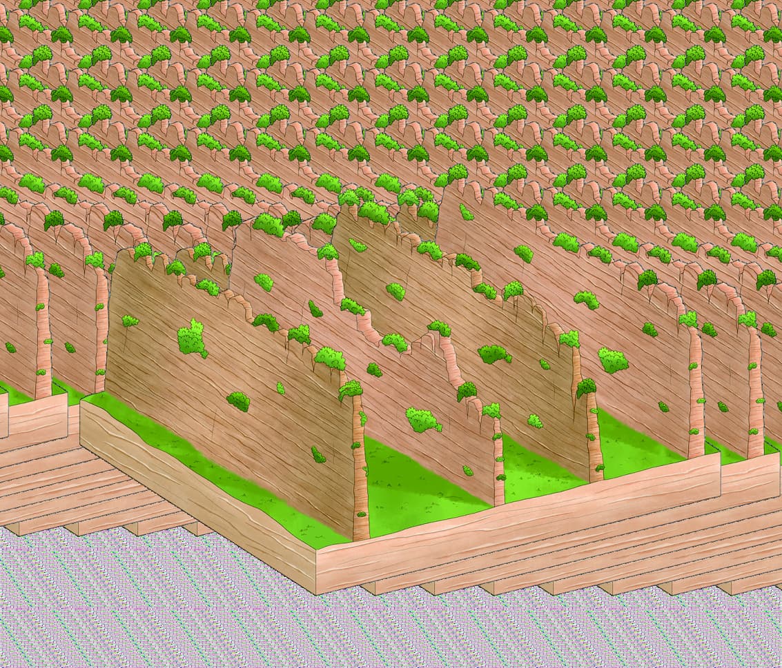
Intersecting joints gradually divide walls into peaks.
The longer upper branch includes more steps, uneven surfaces and sustained mountain walking.
Mist can create atmosphere, but the wall panorama depends on enough distance visibility.
Plan entrances, cableway use and onward transport together instead of adding stops one by one.
Tell us whether Natural Great Wall is enough, or whether Wulong Village belongs in the day. We will connect the route to your pace and the wider mountain sequence.
Official Tour Guide Manual · PDF source pages 17–18 / printed pages 25–28 · user-confirmed authorised for adaptation. The page preserves official landscape, place-name and route relationships. Current access, closures, transport operations and suitable walking depth must be confirmed for the visitor's date and group.