Yuanjiajie
The high plateau of sandstone pillars, mist-filled valleys and connected viewpoints that defines the classic Zhangjiajie landscape.
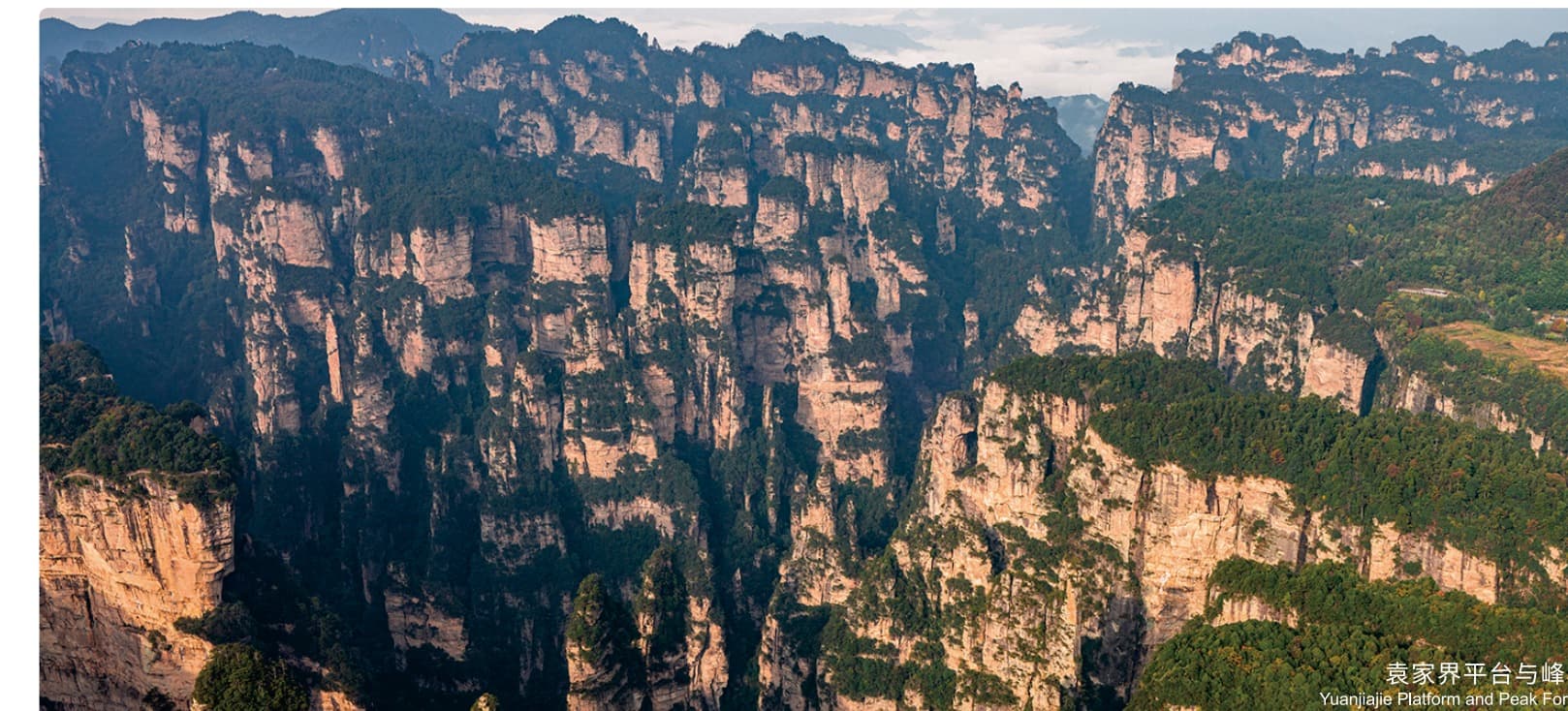
Yuanjiajie is the central scenic area of the Zhangjiajie landform. Its mountaintop paths connect Avatar Mountain, Enchanting Terrace and the natural bridge known as the No. 1 Bridge in the World.
The experience is not one roadside viewpoint. It is a sequence across the plateau: mechanical access can reduce the climb, but visitors still walk between exposed overlooks, shaded forest sections and repeated steps.
Mist does not simply hide Yuanjiajie. It changes the landscape, allowing the pillars to appear, disappear and float above the valley.
peak forest
viewpoints
with steps
sensible route
Three moments.
One connected landscape.
These are principal stops on the same mountaintop network. Choose the area once; the local team then arranges a route that avoids treating each viewpoint as a separate transfer.
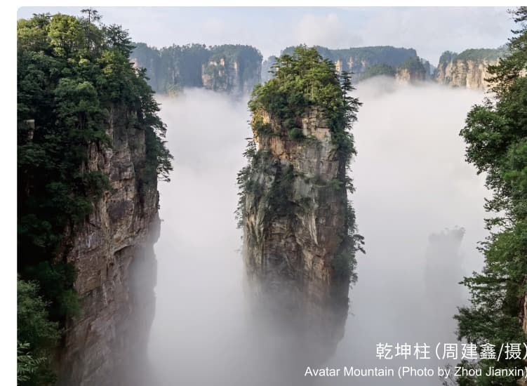
Avatar Mountain
A freestanding pillar rising through the Yuanjiajie peak forest. The official manual identifies the formation as one of Zhangjiajie's “Three Thousand Grotesque Peaks” and records its association with the floating Hallelujah Mountains.
See where it sits in the sequence →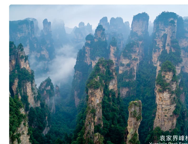
Enchanting Terrace
A natural pause for reading the depth and changing layers of the peak forest before continuing across the plateau.
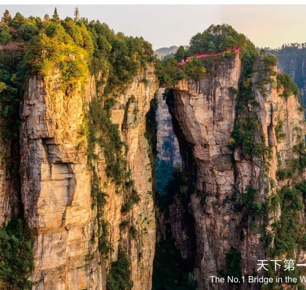
The No. 1 Bridge
Two sandstone peaks joined by a naturally formed rock corridor, reached as part of the connected viewpoint walk.
How Yuanjiajie
connects.
This English orientation redraw preserves the official guide map's principal relationship between Bailong Elevator, the plateau viewpoints and the onward scenic shuttle. It is not a live navigation map.
Walking realityMechanical access reduces elevation gain; it does not remove the viewpoint walking or steps.
Local planning decisionEntry, exit and direction should follow the adjacent area, weather, crowd flow and your pace.
Beautiful, but not effortless.
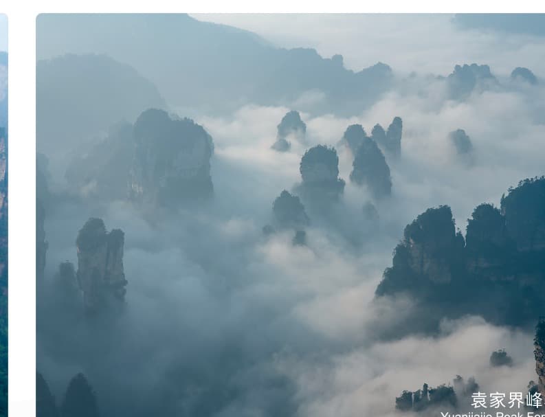 Cloud can close and reveal the panorama within minutes.
Expect steps and standing
Viewpoint paths remain physical even when elevators and scenic shuttles are used.
Keep the order flexible
Mist, rain, queue patterns and current operations can change the sensible sequence.
Share mobility needs early
The local team can reduce unnecessary backtracking and select the more suitable approach.
This space is reserved for original field footage. No generic destination video is substituted.
Source and interpretation
Tourism facts, photographs and the route relationship are adapted from the authorised official Tour Guide Manual, PDF pages 15–16 (printed pages 21–24). Opening status, queues, transport operation and the final visit sequence require current confirmation during planning.