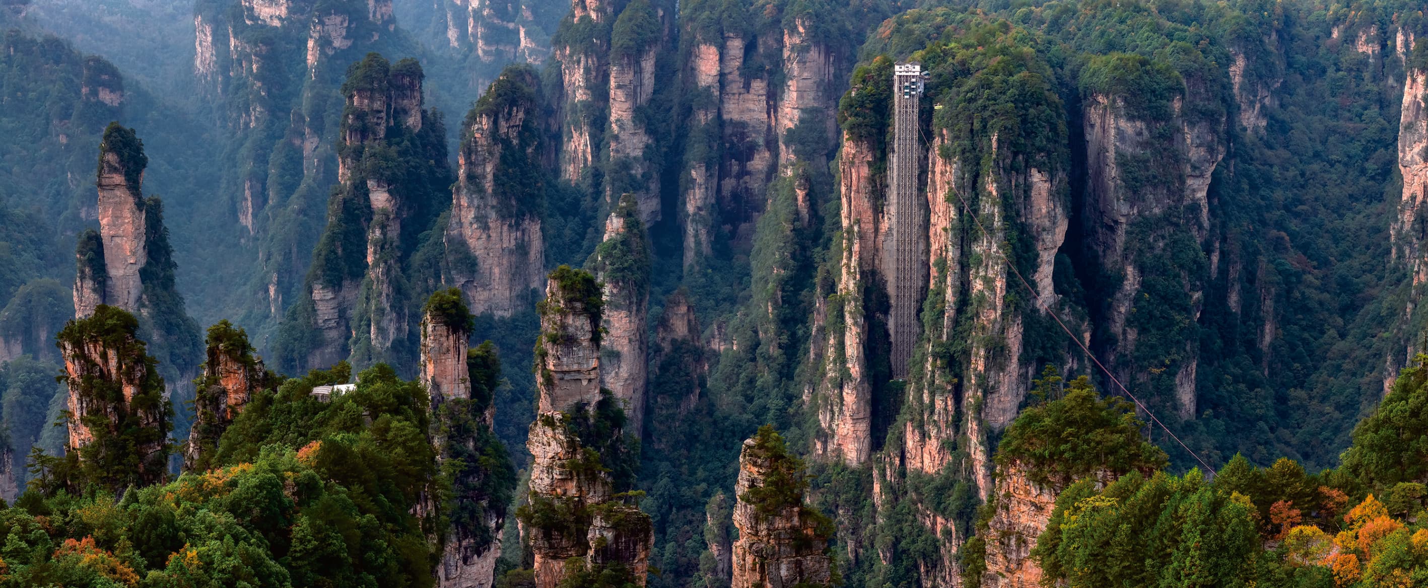
 OFFICIAL MANUAL PHOTOGRAPHY · PDF PAGE 31
Two mountain worlds.
One cleaner line.
Keep Yuanjiajie's iconic pillars and Tianzi Mountain's open panoramas, while leaving the Yangjiajie visit outside this version of the day.
A deliberate edit.
Not a renamed official route.
The Tour Guide Manual publishes one mountaintop Grand Loop across Yuanjiajie, Yangjiajie and Tianzi Mountain. It does not publish a separate route under this page's two-area name.
This page keeps the Manual-verified scenic areas, walking references and transport relationships, then transparently removes the Yangjiajie visitor chapter. The final sequence remains subject to live confirmation.
Pillars first.
Peak forest last.
What changes is the landscape grammar: close, freestanding forms at Yuanjiajie give way to Tianzi Mountain's wider, layered distance.
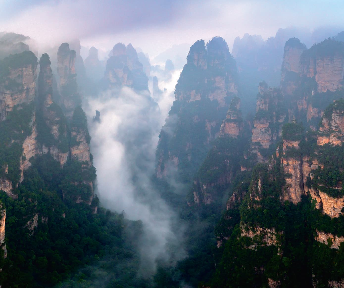
Begin among the icons.
Enchanting Terrace, Avatar Mountain and the No. 1 Bridge form the recognised Yuanjiajie sequence in the Manual.
Approx. 1.5 km of viewpoint walking in the published Grand Loop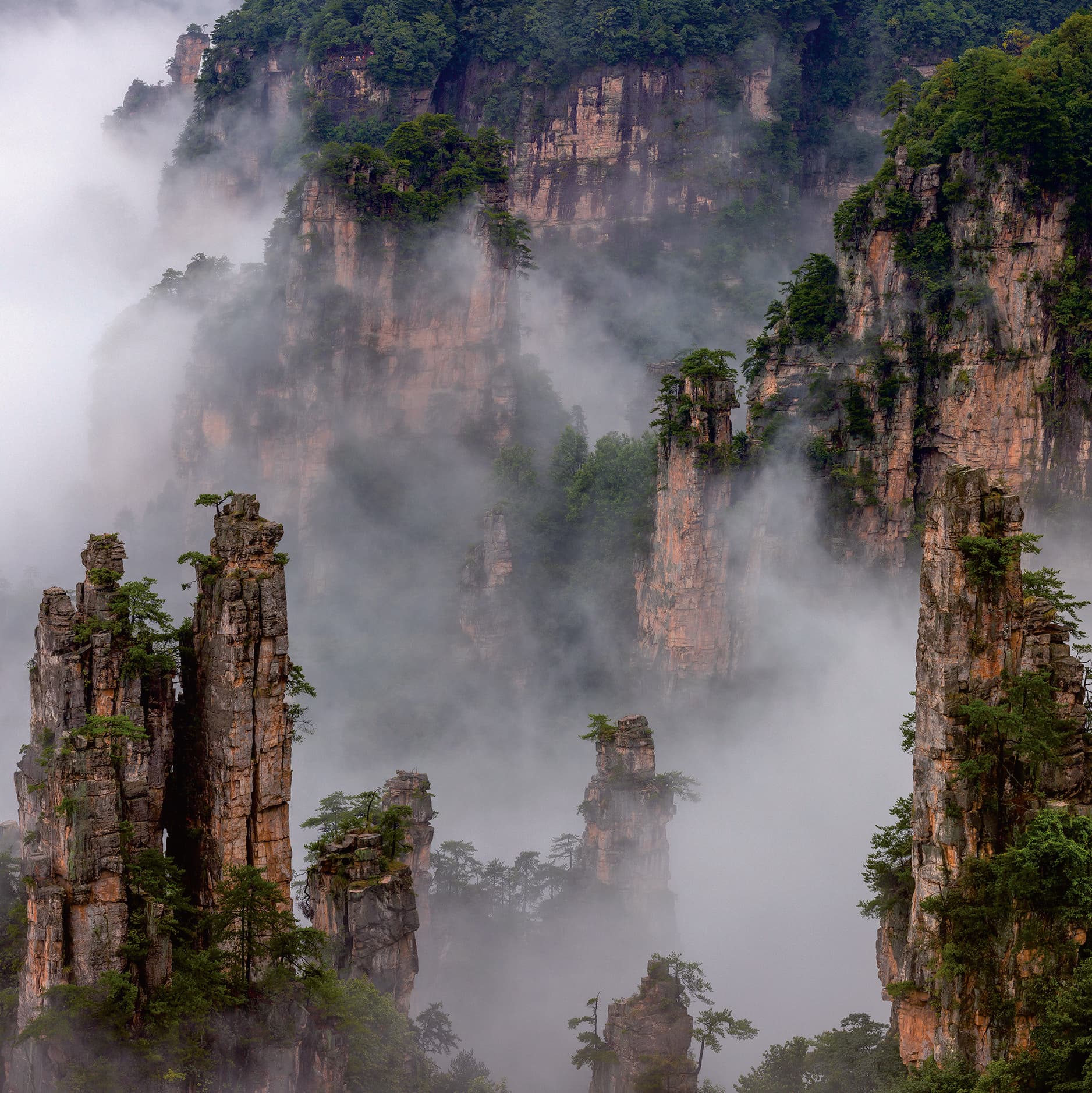
Finish with the horizon.
Helong Park, Imperial Brush Peak and West Sea Peak Forest widen the visual field after Yuanjiajie's close pillar groups.
Approx. 1.5 km around Helong Park in the published Grand LoopRemove a visit.
Keep the connection honest.
The official mountain road still connects through the Yangjiajie station area. This version omits its viewpoint walk; it does not pretend the transfer geography disappears.
- Retained
- Yuanjiajie + Tianzi Mountain
- Passed, not visited
- Yangjiajie station connection
- Vertical links
- Bailong Elevator + Tianzi Cableway
Less breadth.
The same transport logic.
Keep Yuanjiajie
Retain the close-range icon sequence and the Bailong Elevator approach.
Pass the connection
Use the mountain transfer relationship without adding Yangjiajie's approximately 1 km visitor walk.
Finish at Tianzi
Protect the open peak-forest conclusion and descend by cableway when operating.
The day still moves in layers.
The Manual provides distances and transport relationships, not guaranteed timings. Queueing, operations and walking pace determine whether the frame is realistic.
- 01East GateScenic shuttleRoute B · 17.4 km to the Bailong Elevator lower station
- 02Bailong ElevatorVertical transferElevator uphill, then approx. 1.1 km on foot
- 03YuanjiajieViewpoint walkingApprox. 1.5 km through the principal viewing sequence
- 04Mountain transferScenic shuttles3.8 km + 13.7 km via the Yangjiajie station connection, without adding its visitor walk
- 05Tianzi MountainHelong Park walkingApprox. 1.5 km on foot, then 1.8 km to the upper cableway
- 06Tianzi CablewayCableway + shuttleCableway downhill, then 7.2 km back to the East Gate
Rise to the icons.
Descend from the scale.
The Bailong Elevator opens the Yuanjiajie chapter; the Tianzi Mountain Cableway closes the day. Both remain live-operating dependencies, never assumed inclusions.
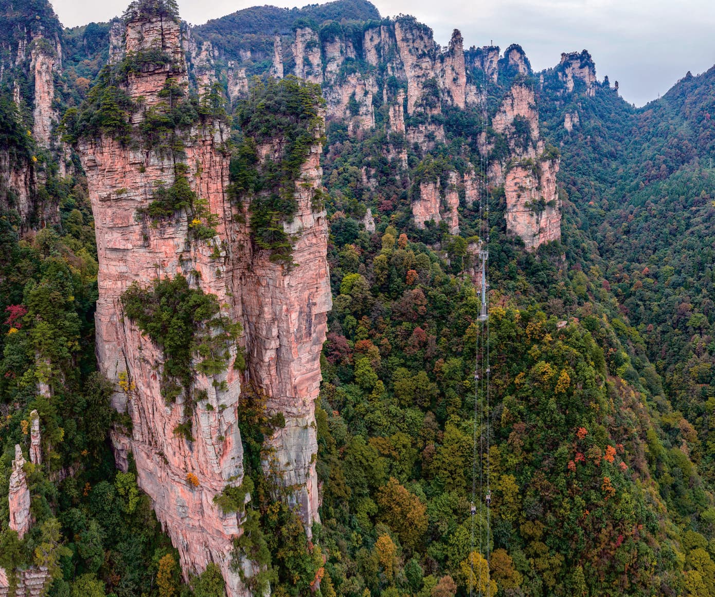
A clear route still
needs live judgement.
A planning edit
This two-area version is a Zhangjiajie Beyond planning option derived from the Manual's three-area Grand Loop.
No Yangjiajie visit
The connection may pass its transport station, but the Yangjiajie walking chapter is deliberately left out.
Can be reconsidered
The Manual notes a reverse approach via East Gate Route A; live conditions decide which direction is sensible.
Operations and pace
Elevator, cableway, shuttle flow, weather and the traveller's walking pace all need current confirmation.
Save the intention.
Then test the reality.
Tell us which mountain chapter matters most and how much walking feels right. We can check direction, transfer load and current scenic transport before proposing the route.
Source basis: Tour Guide Manual PDF pages 15–16 (Yuanjiajie), 19–20 (Tianzi Mountain), 30 (official Grand Loop map and sequence) and 31 (official route photography). The Manual does not present this two-area edit as a separate named official route.