HIGH VIEWPOINT · OFFICIAL MANUAL
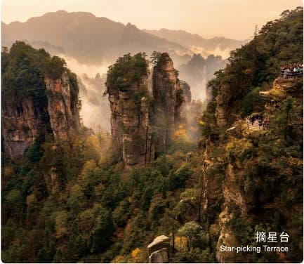
01Star-picking Terrace
A high rim platform where the summit circuit opens outward over the southern peak forest.
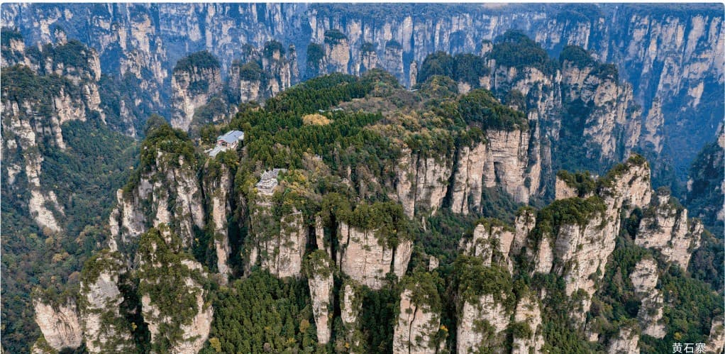
An elevated mesa wrapped by sandstone towers — a complete plateau circuit above the southern peak forest.
Huangshi Village is a compact mountain world: a broad summit platform, a ring of viewpoints and sheer walls falling into the southern peak forest.
Unlike a one-direction mountain crossing, the upper path returns toward its access point. The real choice is how to reach the plateau, how much of the rim to walk and whether to connect the day with Golden Whip Stream.
Understand the complete circuit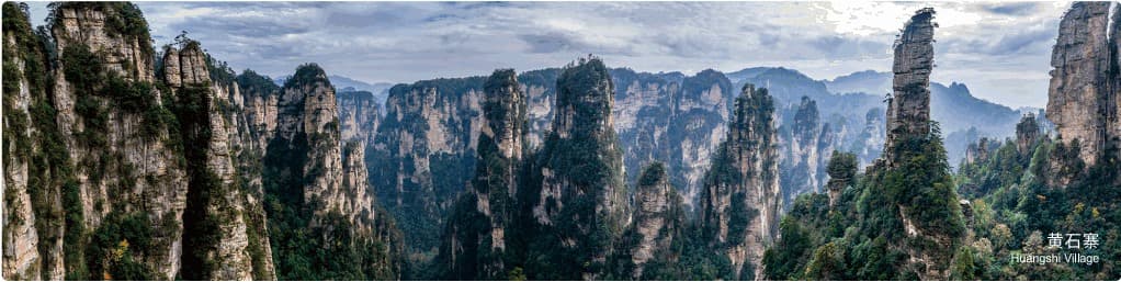
The summit works like a viewing platform suspended inside the peak forest.
The outer cliffs reveal the mesa's scale, while the loop path repeatedly opens windows toward distant pillars. Walking the rim changes the direction of the landscape without changing mountains.
The official guide map is dense because the summit has many named viewpoints. This responsive reconstruction keeps the visitor decision clear.
Programmatic reconstruction of the official guide map. It is not a live navigation map.
The manual pairs a high viewing terrace with a dense group of bridge-like pillars. Together they explain both the plateau experience and the landform below it.
A high rim platform where the summit circuit opens outward over the southern peak forest.
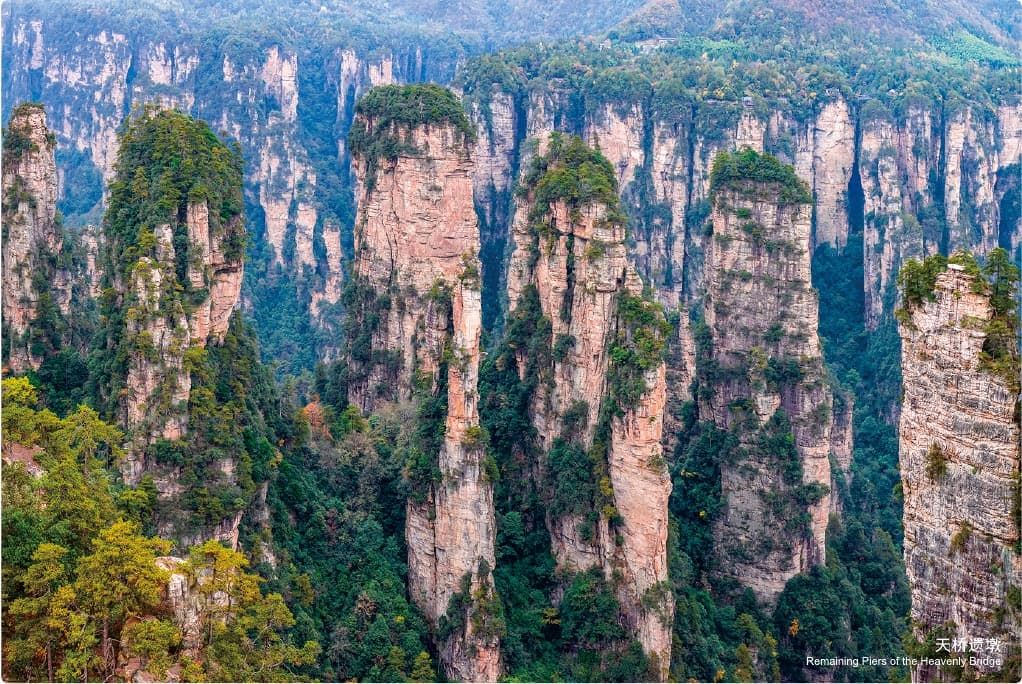
A line of sandstone remnants that reads like the surviving supports of a vanished bridge.
The experience changes before the plateau circuit even begins. Treat access, the summit loop and the valley as different energy decisions.
The manual uses a three-stage diagram to show how a broad sandstone platform is progressively divided into peak walls and isolated towers. These responsive diagrams rebuild that relationship programmatically.
A broad sandstone block remains comparatively flat above its enclosing valleys.
Erosion and collapse divide the plateau margins into walls, notches and ravines.
Continued weathering separates the remnant walls into individual sandstone pillars.
Tell us how much climbing feels right, which rim views matter and whether the valley belongs in the same day. We will keep the sequence realistic.
Tour Guide Manual, PDF pages 21–22 / printed pages 33–36. Photographs and destination information are official, user-confirmed authorised materials. Landform and route graphics are programmatic responsive reconstructions of the manual and do not replace live operating guidance.