PANORAMA · OFFICIAL MANUAL
02Celestial Warriors
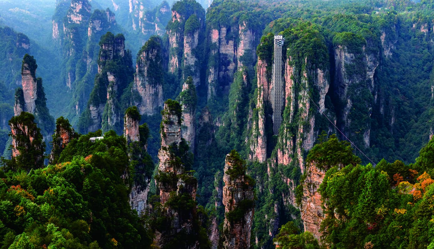
Dense pillars stand across the valley like an ordered mountain formation.
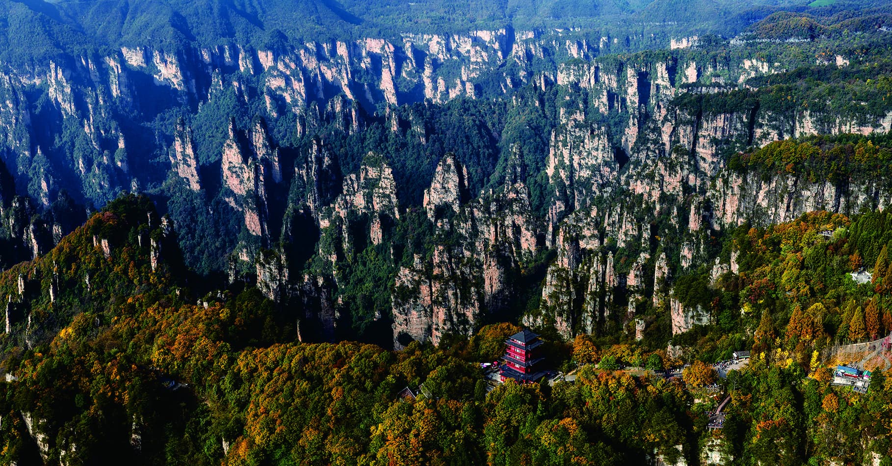
High ridges, vast peak forests and shifting cloud seas — best understood as one connected mountaintop landscape.
Tianzi Mountain turns Zhangjiajie's vertical pillars into a broad, layered field — a landscape read through distance, cloud and changing light.
Imperial Brush Peak and Celestial Warriors give the panorama recognisable forms. Yet the experience is larger than a list of viewpoints: shuttle roads, ridge walks and the Tianzi cableway need to work as one direction.
See the mountain sequencePeak walls and pillars repeat toward the distance until geology becomes atmosphere.
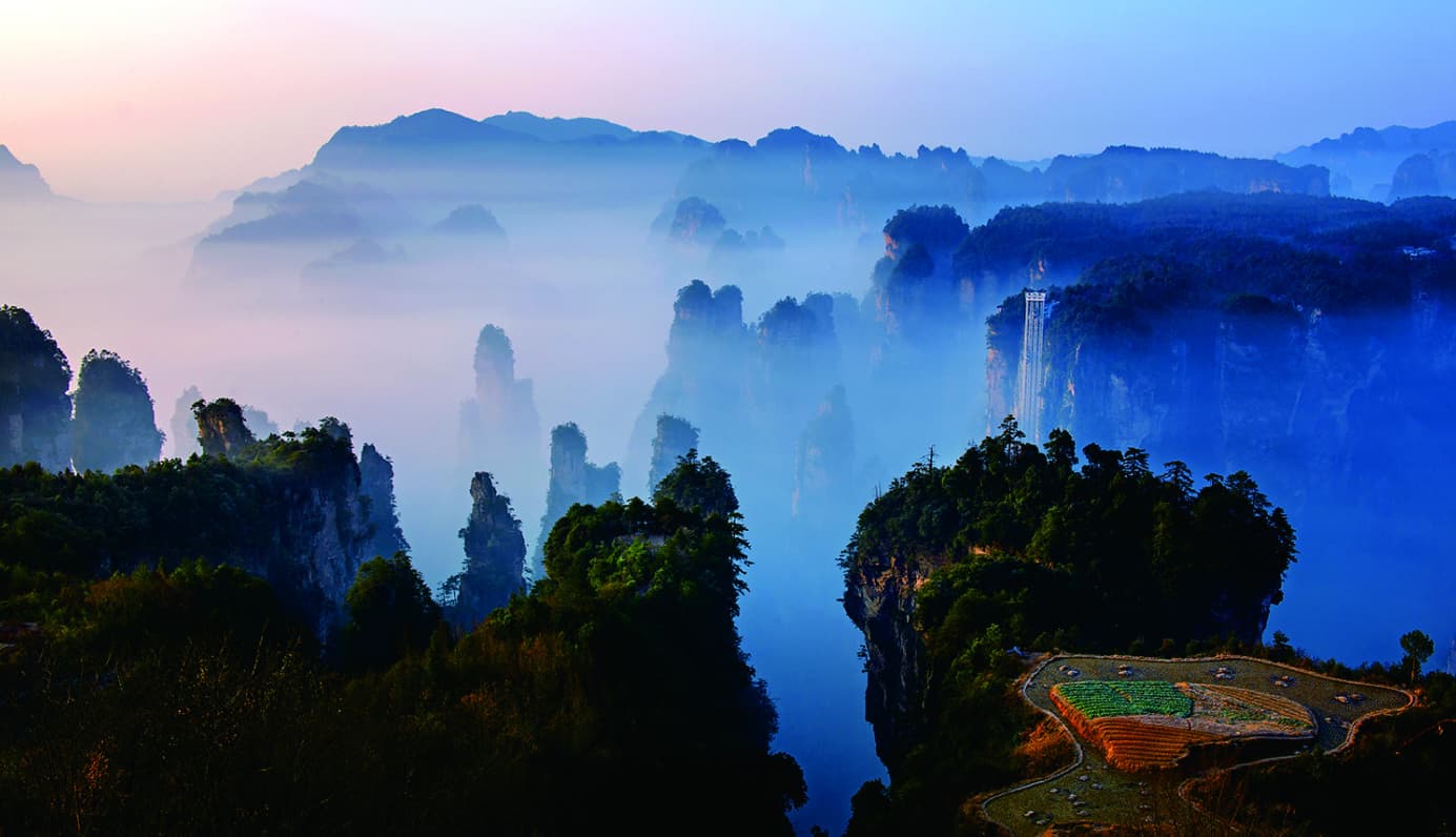
The strongest view is not always the clearest one. Mist can remove the far horizon, reveal only a few towers, then reopen the entire field. The route should leave room for that change.
Do not chase every platform. Protect enough time for the mountain to change.
The official map shows several entrances, shuttle links and walking loops. This responsive reconstruction keeps the core relationships legible.
Programmatic reconstruction of the official guide map. It is not a live navigation map.
Two views give a first-time visitor a clear visual vocabulary without reducing Tianzi Mountain to a checklist.
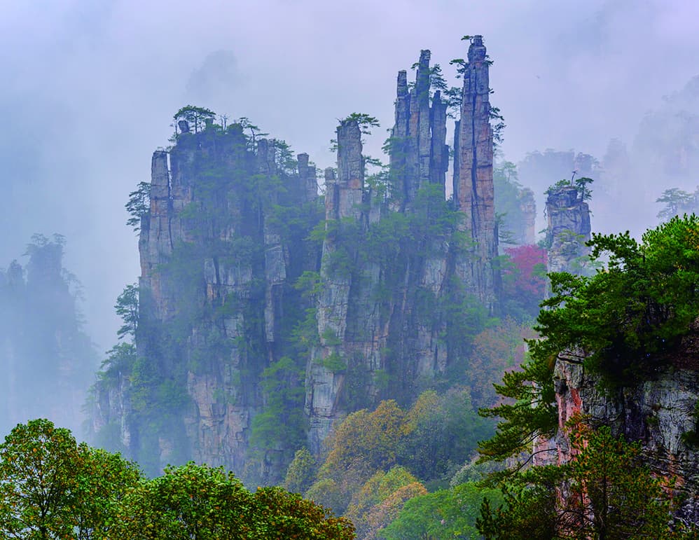
Slender parallel pillars rise like a cluster of brushes, narrow above and broader below.
Explore the formation →Dense pillars stand across the valley like an ordered mountain formation.
Cloud does not simply make Tianzi Mountain good or bad. It changes how the peak forest reads. A resilient day keeps the route flexible.
The manual's official diagrams translate jointing, erosion and long-term collapse into a visitor-readable sequence.
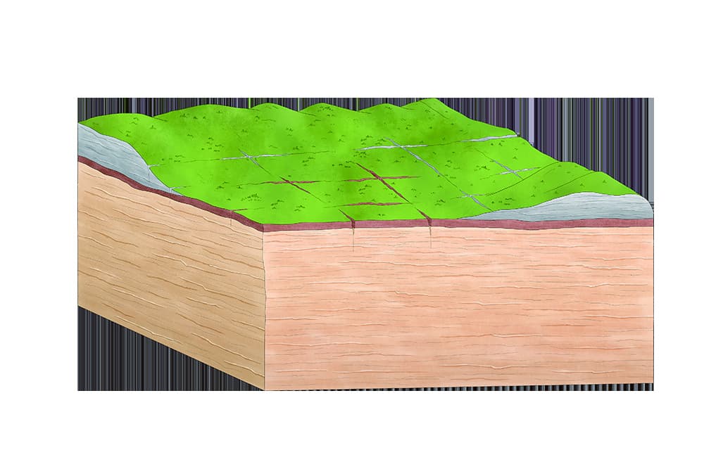
Weak planes begin to deepen across the sandstone platform.
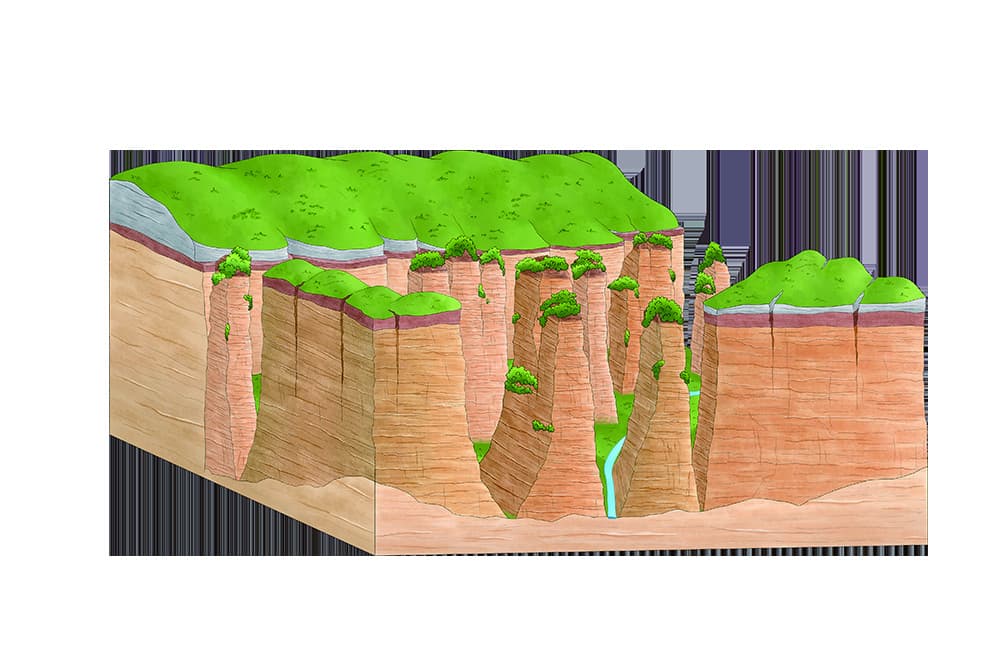
Water and collapse divide plateaus into walls and ravines.
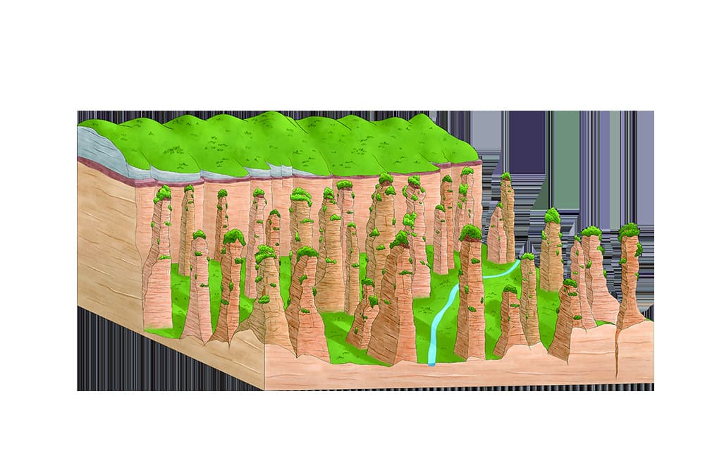
Continued weathering separates walls into dense peak forest.
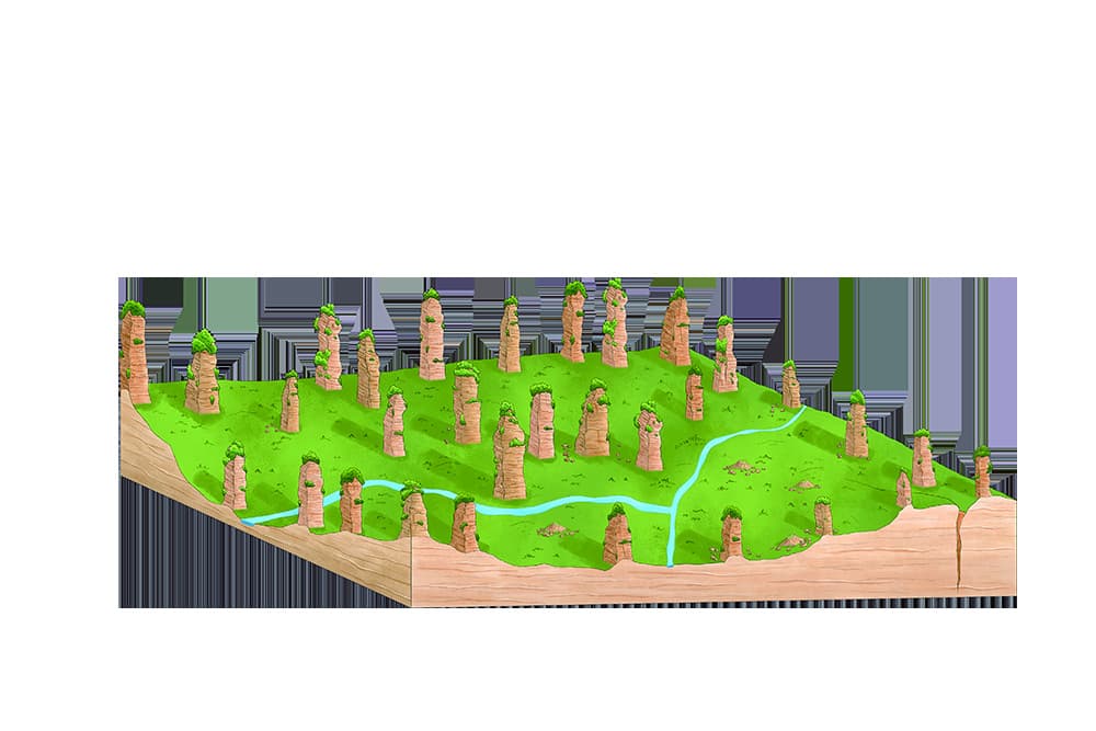
Remnant pillars remain above widening valleys.
Tell us what matters most — wide views, named formations or an easier transport sequence — and we will shape Tianzi Mountain around the rest of your route.
Tour Guide Manual, PDF pages 19–20 / printed pages 29–32. Photographs and landform diagrams are official, user-confirmed authorised materials. The programmatic route reconstruction preserves visitor relationships and does not replace live operating guidance.