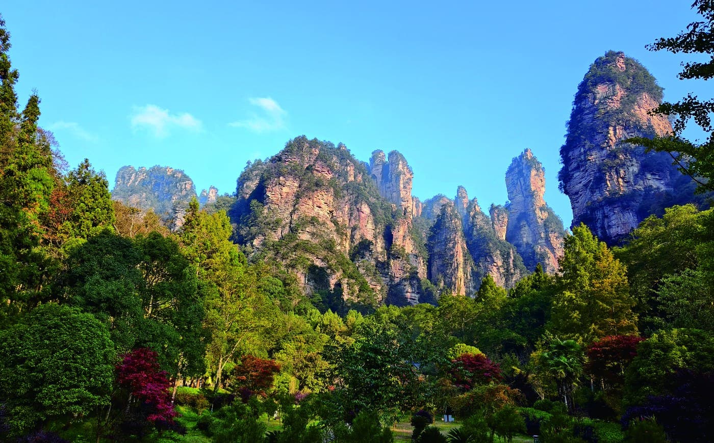
SOUTHERN APPROACH
02Boudoir Gate
Parallel peak walls frame the valley like a monumental entrance.
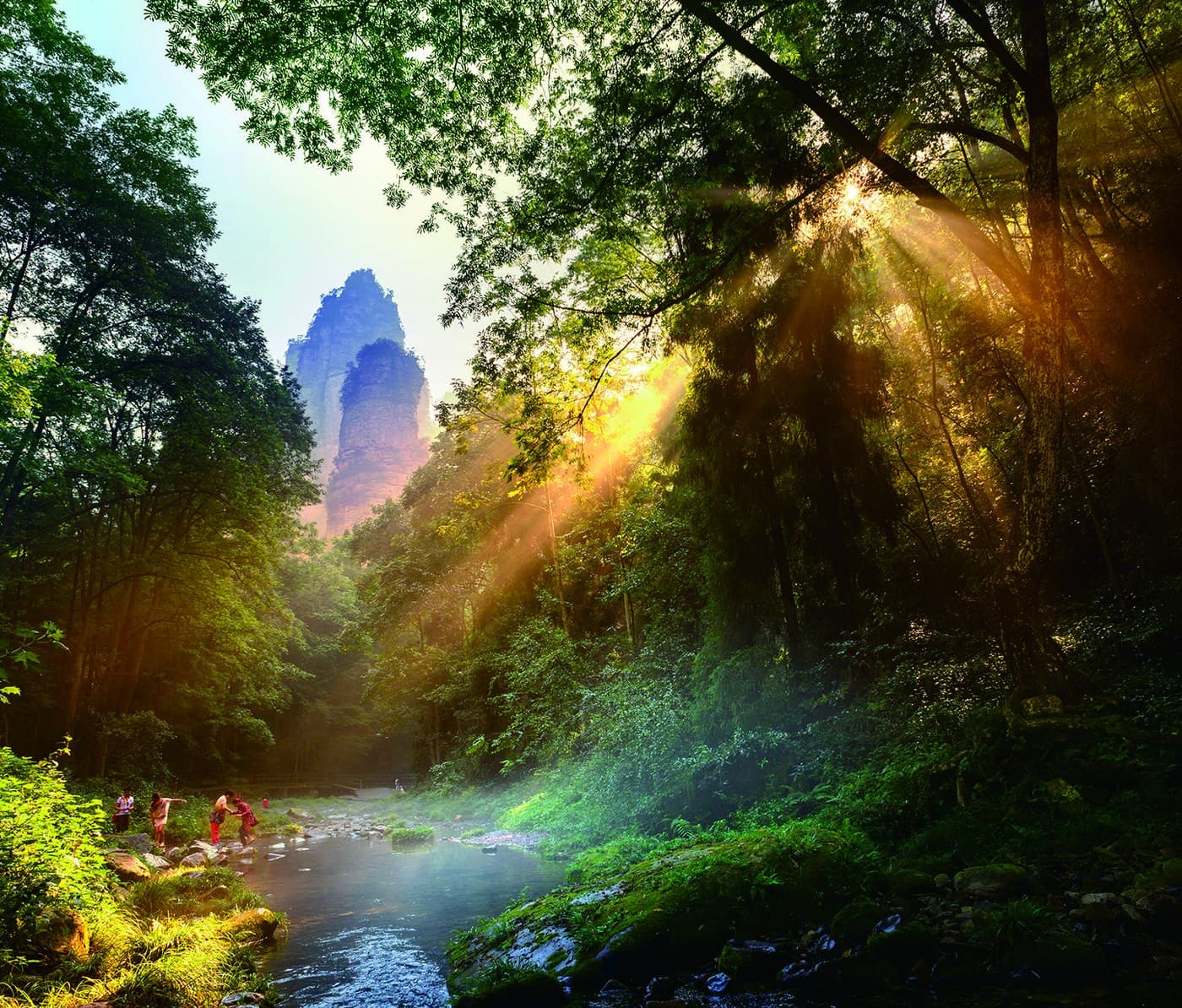
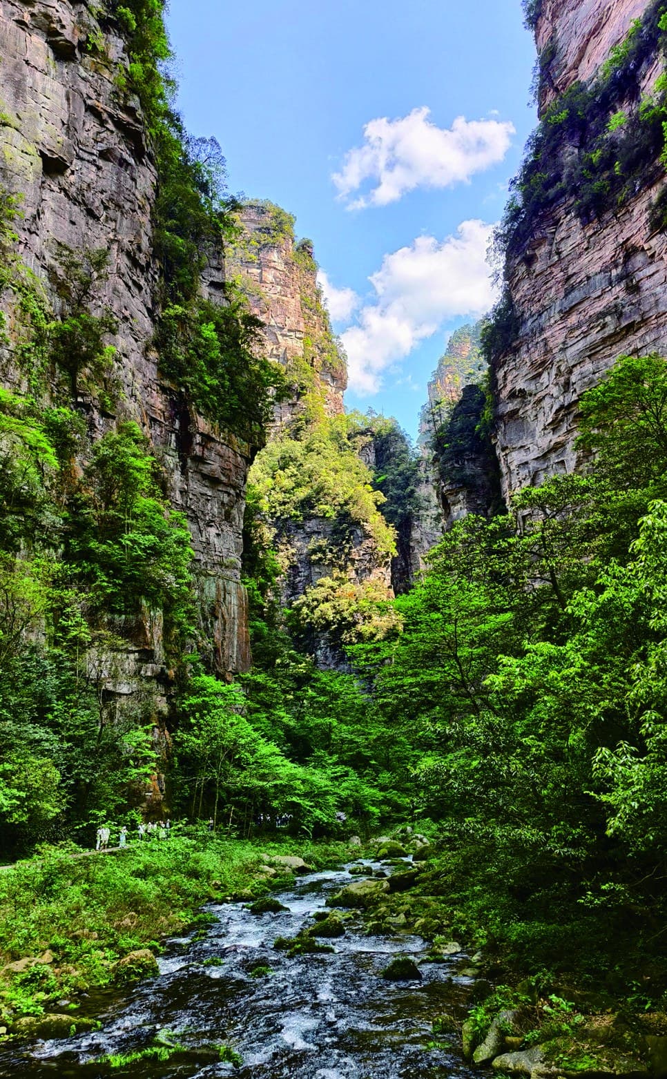
A shaded valley walk where clear water, forest light and sandstone towers unfold at walking speed.
Golden Whip Stream turns Zhangjiajie upside down: instead of looking across the pillars from a plateau, you walk beneath them beside clear water.
The official corridor extends about 7.5 kilometres. It is not a quick viewpoint but a linear experience, so the most important planning decision is where to enter, how far to walk and which mountain area comes before or after it.
Understand the valley corridorThe stream is the organising line; every bend changes the relationship between water, forest and rock.
The manual describes streams and torrents connecting deep pools, with grotesque peaks and forest-like clusters rising on both sides. The experience is cumulative rather than concentrated in one platform.
The guide map links the South Entrance with Water Winding Four Gates, then branches toward the Bailong Elevator, Yuanjiajie and other scenic exits.
Programmatic reconstruction of the official guide map. It is not a live navigation map.
The official manual gives recognisable names to formations encountered along and around the valley. They are moments inside the walk, not substitutes for the landscape between them.
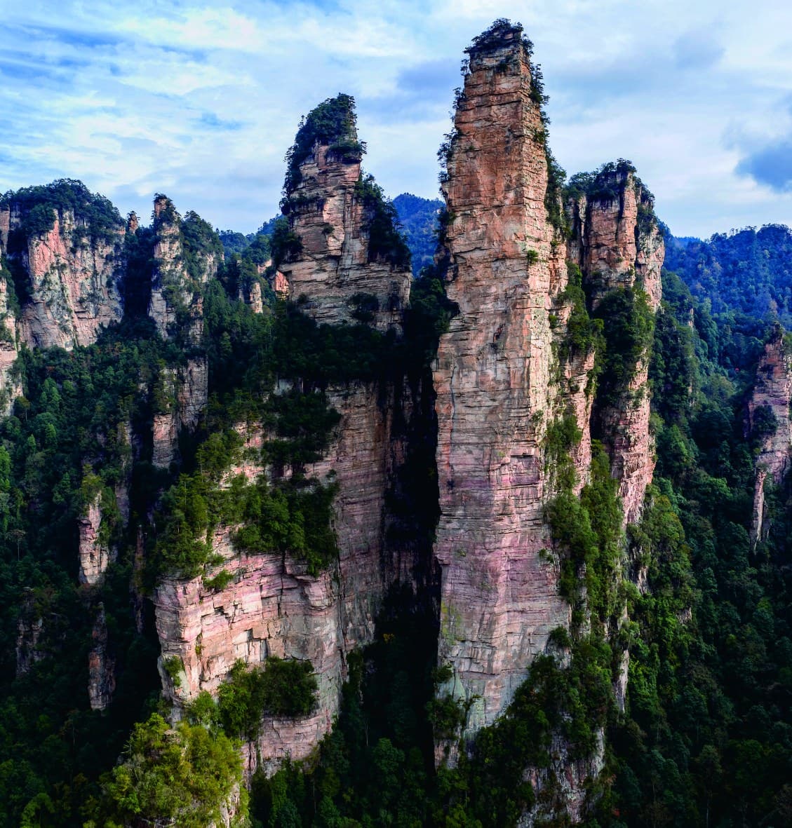
The tall square-edged pillar that gives the stream its name.
Explore the landmark →Parallel peak walls frame the valley like a monumental entrance.
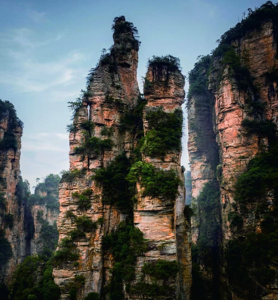
Two joined pillars read as a distant reunion across the rugged mountain setting.
The strongest memory may be the space between named sights: cooler shade, reflected light and peak silhouettes appearing through the canopy.
The site does not need to turn 7.5 kilometres into a requirement. The route should match the day's mountain sequence, mobility and daylight.
Use the stream as the main walking experience and plan transport at the chosen endpoint.
BEST WHEN · THE VALLEY IS A PRIMARY PART OF THE DAYEnter for the forest, stream and selected formations, then return before the walking load overtakes the day.
BEST WHEN · CONNECTING WITH A HIGHER MOUNTAIN AREATell us which mountain area comes before or after, how far you enjoy walking and whether water, shade or named formations matter most.
Tour Guide Manual, PDF pages 23–24 / printed pages 37–40. Photographs, place names and corridor facts are official, user-confirmed authorised materials. The programmatic map preserves visitor relationships and does not replace current operational guidance.