Golden
Whip Rock
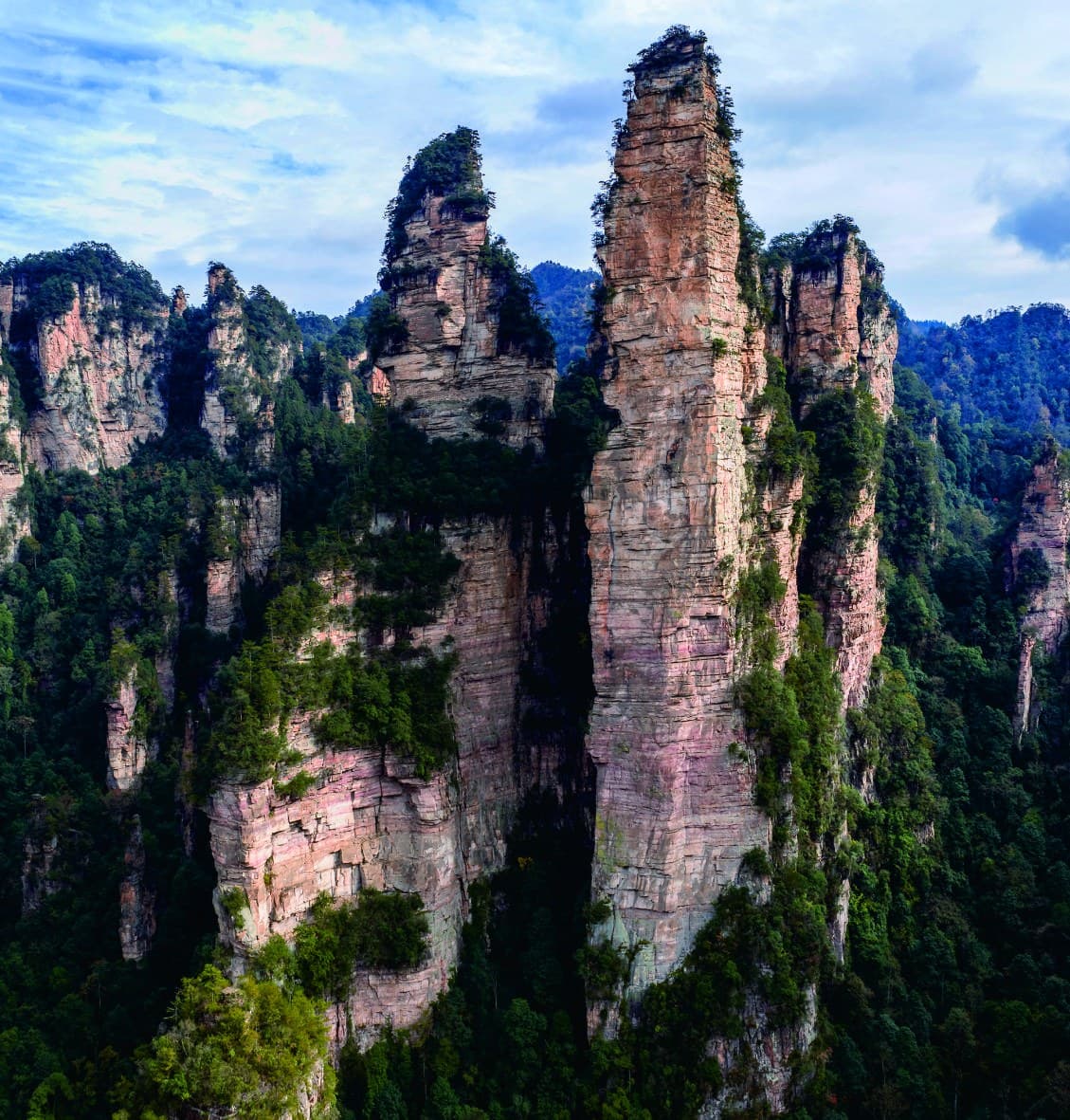
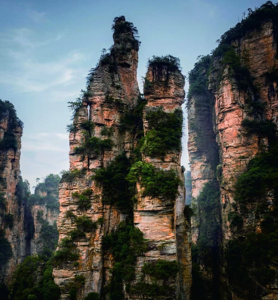
A square-edged sandstone column rising from the valley floor - named for the way sunlight turns its rock face into a long golden whip.
 OFFICIAL TOUR GUIDE MANUAL · GOLDEN WHIP ROCK
First the column.
Then the light.
The official manual describes Golden Whip Rock as a tall, straight sandstone column with a relative height of more than 350 metres, rising above the Golden Whip Stream corridor.
Its name is not a material claim. In sunlight, the exposed rock is described as glittering like a golden whip; in snow, the same form reads as a silver whip. Weather changes the reading, not the landmark.
A long stone stroke against the forest.
The manual emphasises a form that is tall and straight, narrowing the visual field from the broad valley to one dominant upright. The published figure is a relative height, not a trail length, viewing-platform height or climbing specification.
- 01
Read the square edges before the surrounding silhouettes.
- 02
Keep the forest base in view to understand the column's scale.
- 03
Expect haze, foliage and season to soften the outline.
An early landmark on a linear valley walk.
The guide map places Golden Whip Rock north of the South Entrance and Oxygen Bar Plaza, before Candle Peak and the longer stream corridor toward Water Winding Four Gates.
- Start South Entrance and Oxygen Bar Plaza
- Landmark Golden Whip Rock
- Continue Candle Peak and Great Litterateur Rock
- Decision Partial or longer stream walk
Programmatic reconstruction of the official guide map. Confirm live access and chosen endpoints before travel.
One form.
Three readings.
Golden Whip
Direct light catches the exposed sandstone and gives the landmark its best-known name.
Silver Whip
The manual describes the snow-covered column as a silver whip against the forest.
Partial silhouette
Rain and drifting cloud can reduce the column to an intermittent vertical outline.
Eagle guarding Golden Whip.
The manual describes a lower neighboring peak to the left of Golden Whip Rock as an eagle: wings half-spread, beak slightly open, poised beside the column. It is a named visual reading of the landscape, not a zoological or structural claim.
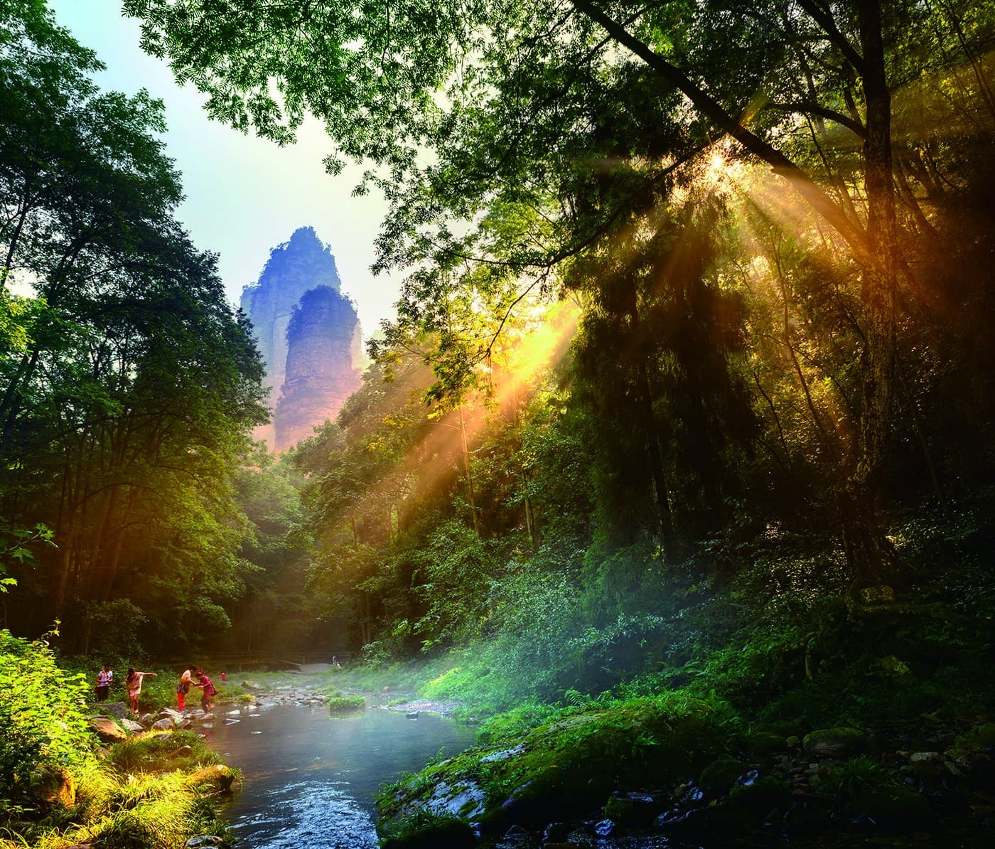
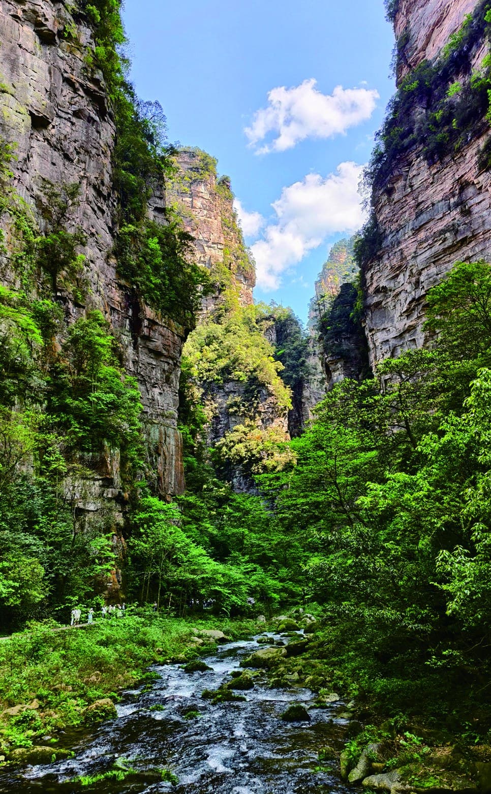
Forest shade below sandstone walls.
Golden Whip Stream runs for about 7.5 kilometres through a narrow valley. The manual describes clear water, steep rock walls and more than twenty scenic points along the wider route.
The landmark can anchor a shorter walk, while the full corridor asks for a separate decision about distance, daylight and exit planning.
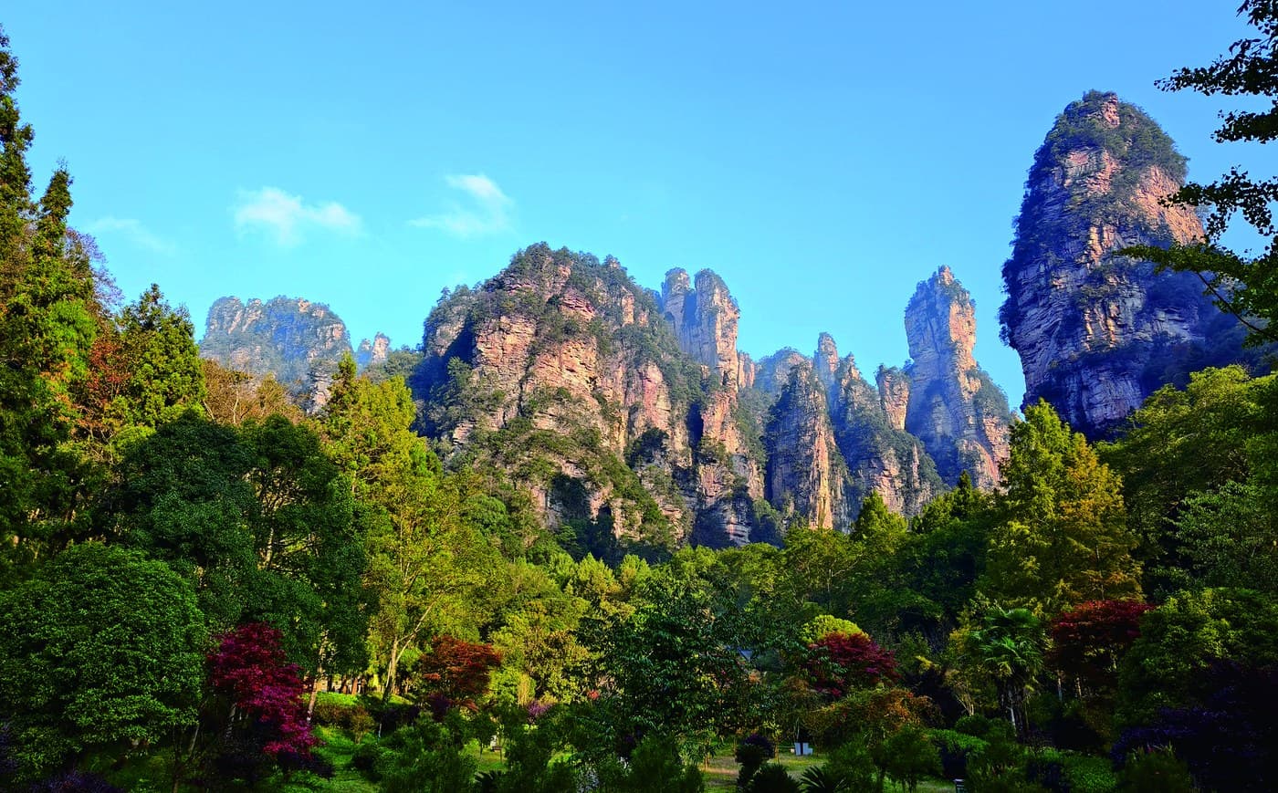
Named forms arrive as a sequence.
Save the landmark.
Choose the right length.
Tell us Golden Whip Rock matters. We can place it near the beginning of a shorter valley visit or connect it to a longer stream route with realistic endpoint planning.