Begin by the water.
Rise into the peaks.
A valley-to-plateau route idea that joins Golden Whip Stream's forest corridor to the Manual-verified Bailong Elevator approach into Yuanjiajie.
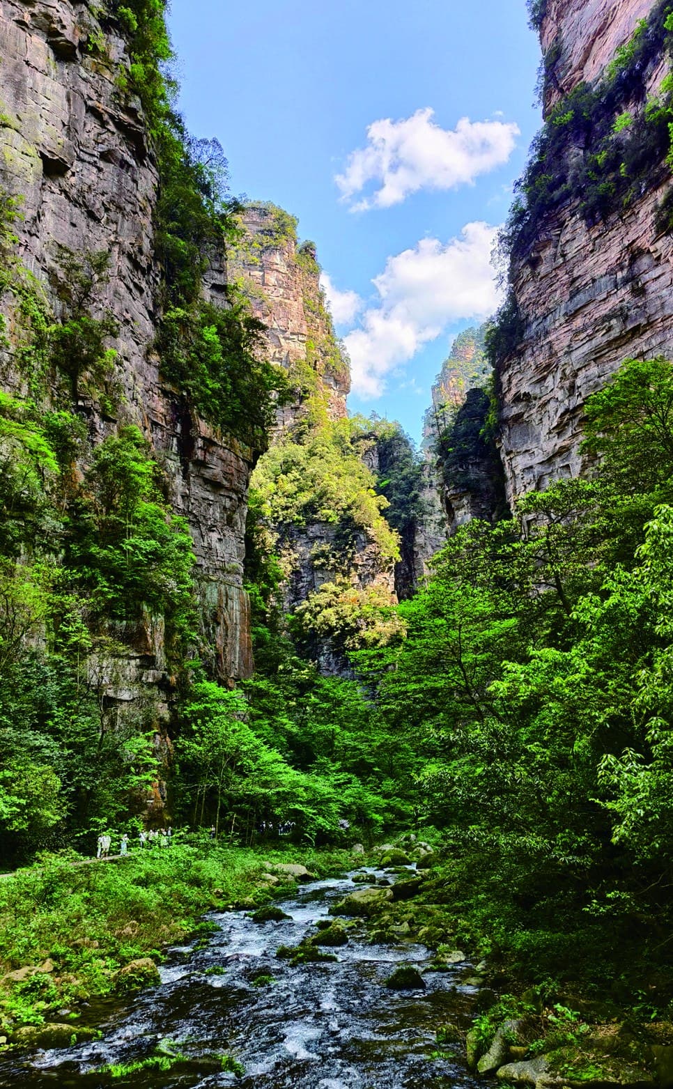
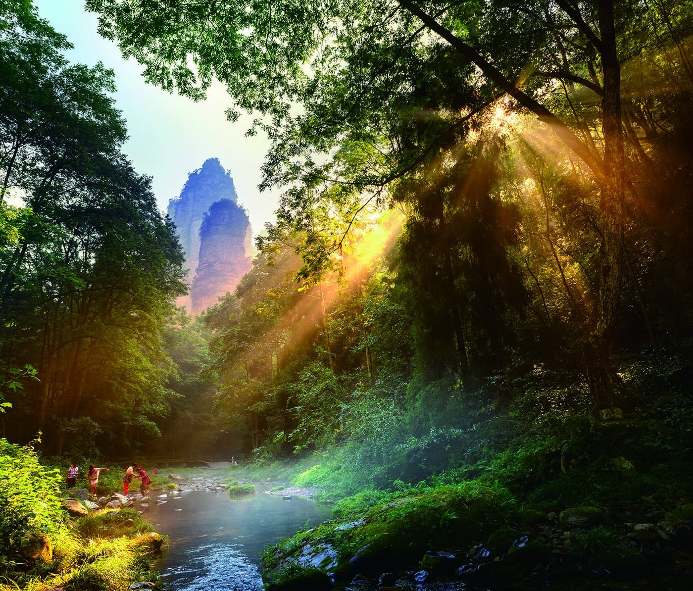
A useful connection.
Not a named Manual route.
The Tour Guide Manual publishes Golden Whip Stream and Yuanjiajie as separate scenic chapters. It does not publish a standalone route under this page's name.
Its maps do show the real relationship: Golden Whip Stream reaches Water Winding Four Gates, the lower Bailong Elevator area connects upward, and Yuanjiajie sits beyond that vertical transfer. This page rebuilds those relationships as a transparent planning option.
Shade.
Lift. Horizon.
The appeal is not a list of stops. It is the physical and visual transition from water-level walking to freestanding sandstone pillars.
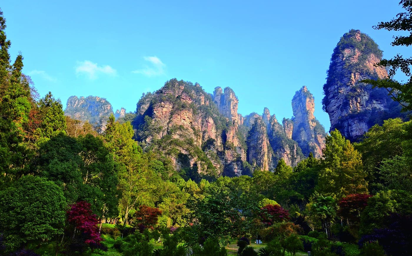
Enter at walking pace.
The Manual describes an approximately 7.5 km stream corridor. Its forest, water and close cliff walls create a quiet opening, but the full distance is a substantial commitment.
Choose the full corridor or an explicitly shorter section during live planning.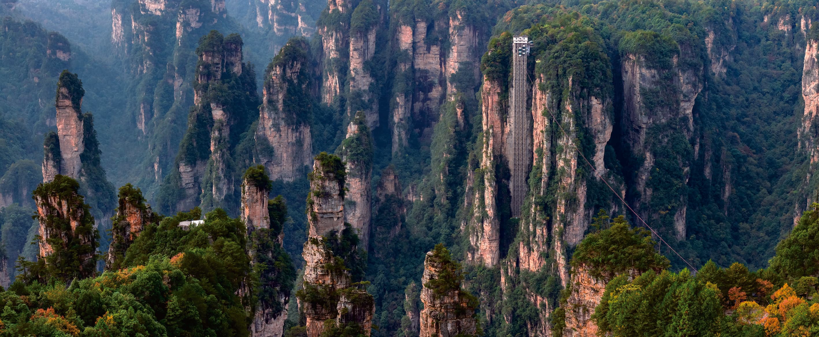
Change height, not subject.
The Manual's Golden Whip Stream map connects Water Winding Four Gates with the lower Bailong Elevator area and onward to Yuanjiajie. The elevator is an operational dependency, not a guaranteed shortcut.
Confirm operation, queues, scenic shuttles and the day's direction before departure.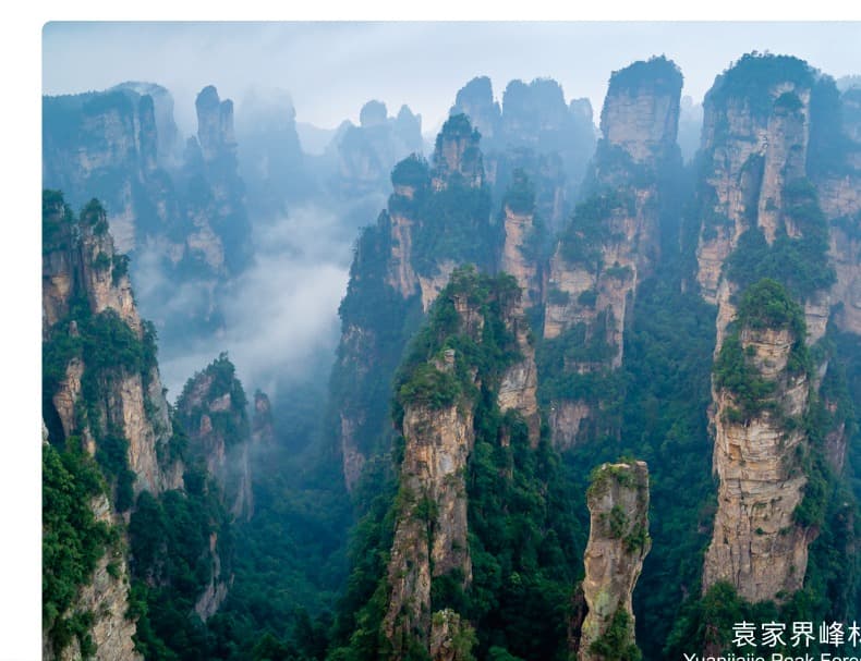
Arrive above the forest.
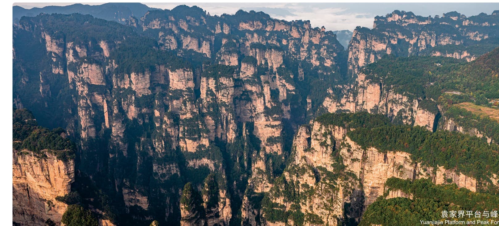
Yuanjiajie changes the visual scale: Enchanting Terrace, Avatar Mountain and the No. 1 Bridge bring the route into the Manual's freestanding peak-forest chapter.
The published Grand Loop references approximately 1.5 km of Yuanjiajie viewpoint walking.Follow the water.
Then change level.
The schematic combines the Golden Whip Stream map on PDF page 23 with the Bailong–Yuanjiajie movement relationships in the Grand Loop map on PDF page 30.
- Full valley frame
- Approx. 7.5 km on foot
- Vertical connection
- Bailong Elevator
- Mountain chapter
- Yuanjiajie viewpoint sequence
Decide the valley
before adding the peaks.
Treat the Manual's approximately 7.5 km Golden Whip Stream corridor as the foundation, then test whether the Bailong and Yuanjiajie chapters remain realistic.
Best discussed as an active full-day candidate, not an automatic schedule.Choose a shorter Golden Whip Stream chapter and retain the valley-to-plateau idea without claiming that the entire published stream corridor was covered.
The exact access and direction depend on current scenic transport.The route turns
at the elevator.
Published distances explain the physical relationships, not guaranteed timings. Walking pace, queues and scenic operations decide what fits.
- 01South GateEntrance approachEnter toward Oxygen Bar Plaza and the Golden Whip Stream corridor
- 02Golden Whip StreamValley walkingPublished scenic-area corridor: approximately 7.5 km in full
- 03Water Winding Four GatesRoute decisionConnect toward the lower Bailong Elevator area using current scenic operations
- 04Bailong ElevatorVertical transferElevator uphill; operation and queues require live confirmation
- 05Mountain approachWalk + scenic shuttleThe Grand Loop maps approximately 1.1 km on foot and a 2.6 km vehicle link
- 06YuanjiajieViewpoint walkingApproximately 1.5 km around the principal published sequence
The elevator changes height.
It does not erase the walk.
A full Golden Whip Stream chapter already carries meaningful distance. Yuanjiajie then adds viewpoint paths, steps and visitor-flow pressure above the elevator.
- Valley
- Up to approx. 7.5 km
- Mountain approach
- Walk + scenic shuttle
- Viewpoints
- Approx. 1.5 km published sequence
Keep the transition.
Test the whole day.
A planning edit
The Manual publishes the places and their connection, but not a standalone route under this page's name.
How much stream?
The full 7.5 km corridor and a selected shorter chapter create very different walking loads.
Bailong operations
Elevator access, queues and scenic shuttle flow can change the route's practicality.
Yuanjiajie priorities
Choose which principal viewpoints matter before adding more mountain walking.
Save the contrast.
Then choose the distance.
Tell us whether the stream or Yuanjiajie matters more and how much walking feels right. We can test route direction, elevator operations and the realistic valley length before proposing a day.
Source basis: Tour Guide Manual PDF pages 15–16 (Yuanjiajie), 23–24 (Golden Whip Stream), 30 (official Grand Loop map and movement relationships) and 31 (official Bailong Elevator photography). The Manual does not present this valley-to-plateau edit as a separate named official route.