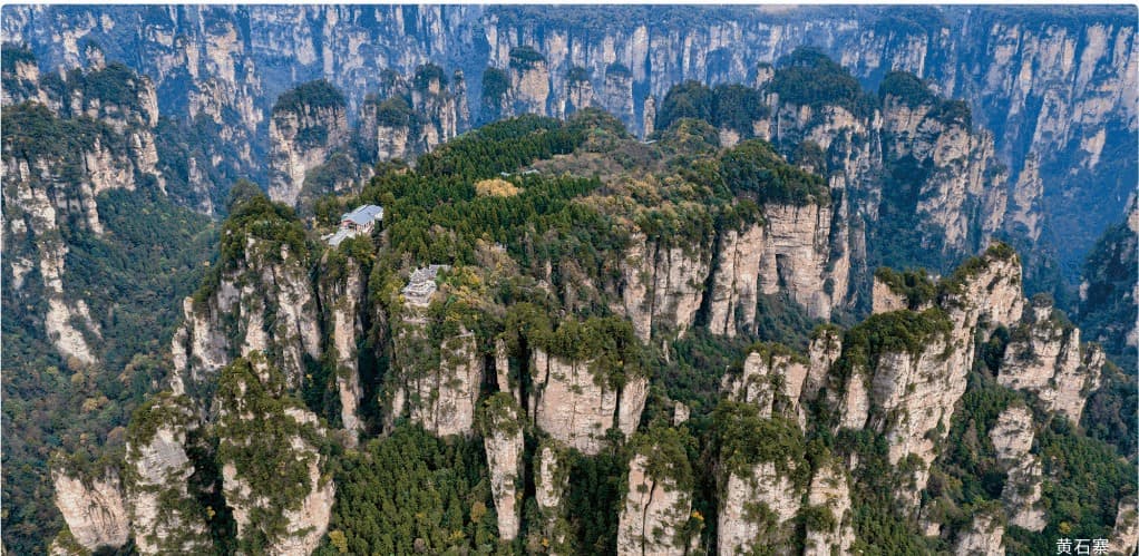
 OFFICIAL TOUR GUIDE MANUAL · HUANGSHI VILLAGE CONTEXT
Five-Finger
Peak
A named formation set into Huangshi Village's elevated circuit - best understood through its place in the mesa, not isolated from it.
Find the plateau first.
Then read the form.
The official guide map places Five-Finger Peak on the eastern side of the Huangshi Village walking circuit, close to Lovers Peak and the route returning toward the cableway area.
The manual does not publish a separate height, distance or technical profile for this named formation. This page therefore begins with verified orientation and keeps unrecorded detail out of the design.
One point on a complete plateau circuit.
Five-Finger Peak belongs to a sequence of named outlooks rather than a standalone transfer. The useful question is where it sits in the day.
- Approach Huangshi Village upper station area
- Sequence Eastern plateau viewpoints on foot
- Nearby Lovers Peak and Zhang Liang's Seal
- Decision Walking pace and current operations
Programmatic reconstruction of the official guide map. Confirm live operations before travel.
The name is a way to look, not a measurement.
The official manual records the viewpoint's name and mapped position, but does not attach a published height or geometric specification. The five-part motif remains interpretive until a dedicated verified photograph is available.
- 01
Use the signed viewpoint and local orientation to identify the formation.
- 02
Allow distance, vegetation and mist to change which uprights read together.
- 03
Keep the wider Huangshi Village panorama in view.
An elevated circuit above the southern peak forest.
The manual describes Huangshi Village as a massive mesa with an average elevation of about 1,100 metres and a flat, open top of roughly 0.2 square kilometres.
Those figures describe the parent scenic area, not Five-Finger Peak itself. They explain why a named formation is encountered as part of a wider elevated walking loop.
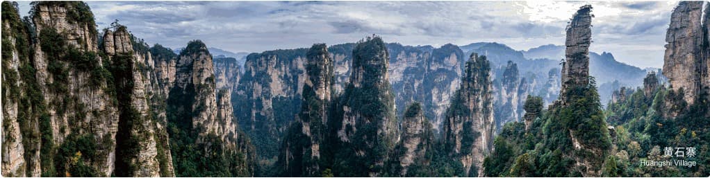
Cloud can simplify the silhouette.
The Huangshi Village manual describes a landscape of overlapping peaks and cloud seas. Clear air exposes the full field; mist can separate nearby forms from the background.
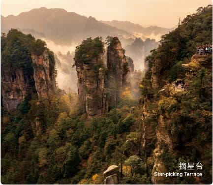
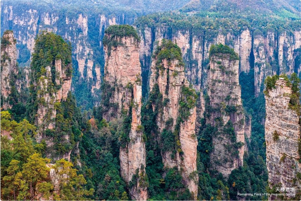
A named circuit needs accurate captions.
The official manual identifies many formations around Huangshi Village. This nearby image is the Remaining Piers of the Heavenly Bridge, not Five-Finger Peak. The page keeps that distinction visible rather than using one scenic image as evidence for another landmark.
One circuit, changing silhouettes.
Future original footage can follow the plateau sequence and show how the named profile changes with approach and weather. No simulated player is presented as finished film.
IN PRODUCTION
Save the viewpoint.
Plan the complete loop.
Tell us Five-Finger Peak matters. We can place it within the verified plateau sequence and account for walking pace, visibility and live transport operations.