 OFFICIAL TOUR GUIDE MANUAL · BAOFENG WATERFALL
Baofeng
Waterfall
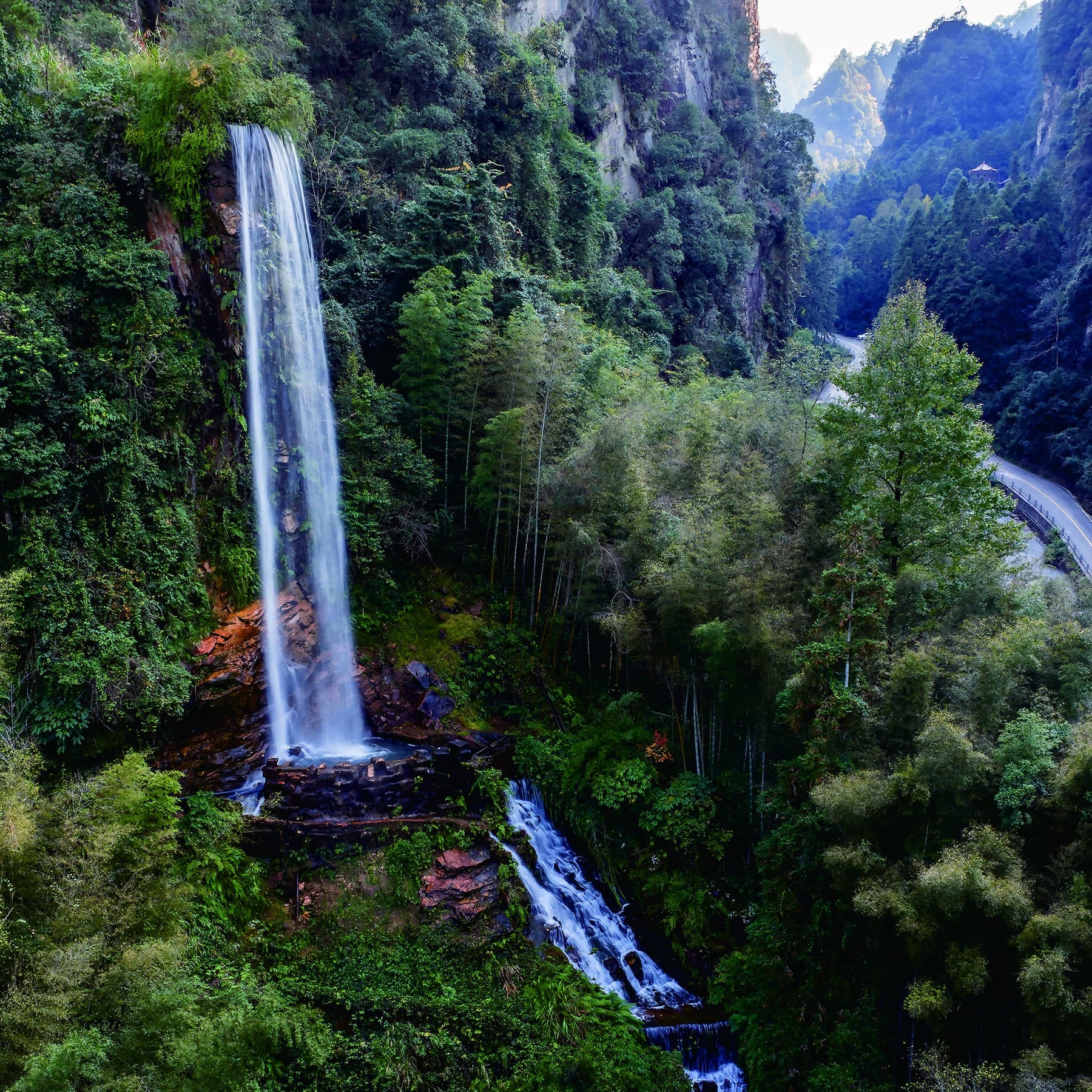
A vertical ribbon at the forested threshold - encountered before Baofeng Lake opens into still water, cliffs and boat travel.
First, falling water.
Then, the mirror.
The official guide identifies Baofeng Waterfall as part of the Baofeng Lake visitor landscape and shows it on the recommended route spread.
The waterfall is not the lake itself. It belongs to the arrival sequence: a vertical, moving foreground before the wider lake, boat landings and named rock forms beyond.
A drop, a pool,
then onward.
The manual supplies a photograph and route context, but no reliable height. The page therefore explains the visible sequence rather than turning the waterfall into an unsupported statistic.
- 01
Water leaves the vegetated cliff edge as one narrow vertical fall.
- 02
The main fall meets a constructed-looking lower pool visible in the official photograph.
- 03
Smaller cascades continue downslope while the visitor route bends through the gorge.
Programmatic reconstruction of the official guide map. Live access, operating paths and boat arrangements require confirmation.
A threshold,
not a separate day.
The official map places the waterfall stage near the northern arrival area, before the principal wharfs and the elongated lake route.
- Arrive Baofeng Lake Ticket Station
- Notice Bridge, gorge and waterfall stage
- Continue Boat wharf and lake circuit
- Plan Steps, wet surfaces and transfer timing
Fall.
Mirror. Passage.
Vertical movement
The arrival landmark is read through sound, descent and a narrow white line against forest.
Enclosed still water
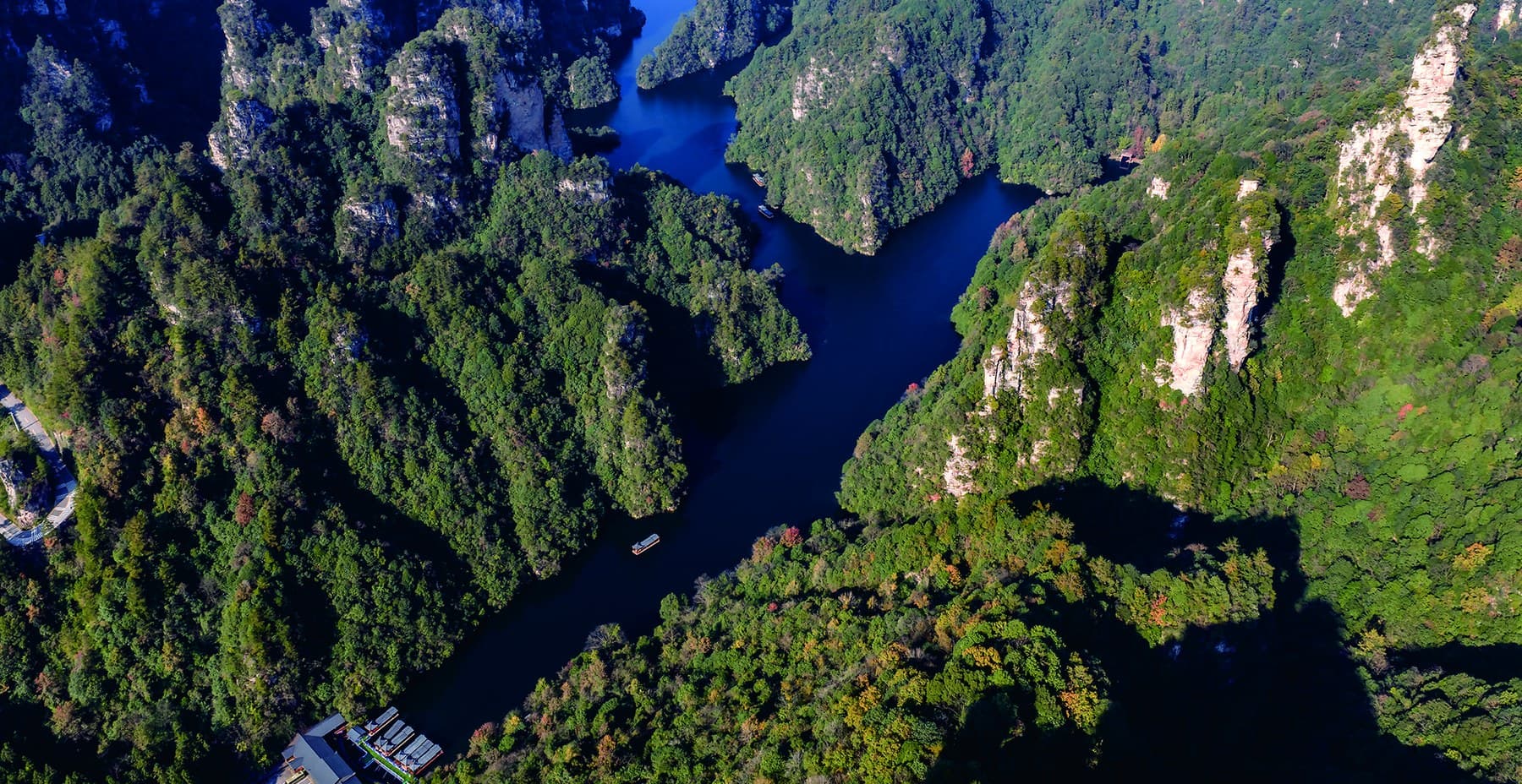
The main lake widens between peak walls; the manual describes clear, mirror-like water.
Boat-level travel
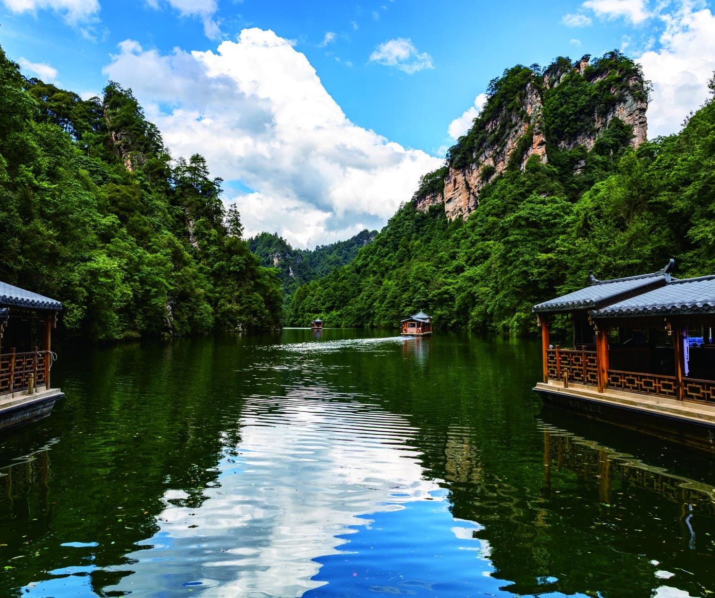
Wharfs and boat movement change the visitor from observer at the edge to passenger within the gorge.
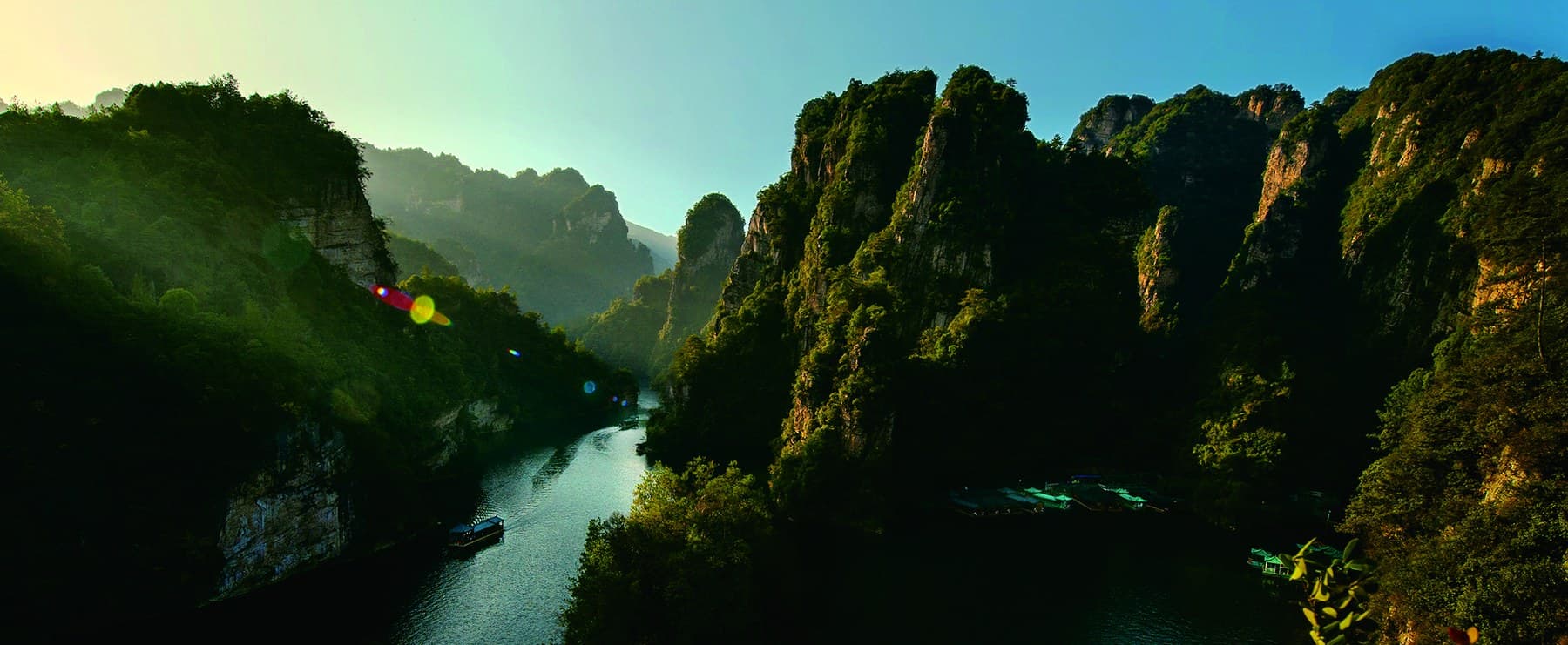
The gorge opens into deep water.
The manual describes Baofeng Lake as a high-gorge lake among sandstone peaks, covering 274 hectares with an average water depth of 72 metres.
Those figures describe the lake, not the waterfall. Keeping that boundary clear helps visitors understand why the two belong together without confusing their scale.
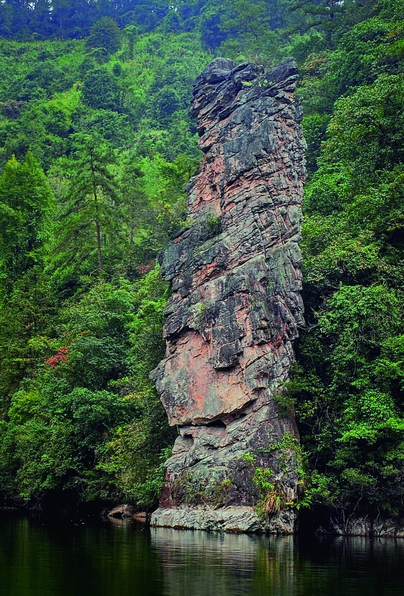
Baofeng Goddess.
The manual identifies a solitary quartz sandstone pillar on the lake shore, approximately 10 metres high, and describes the figure seen together with its reflection.
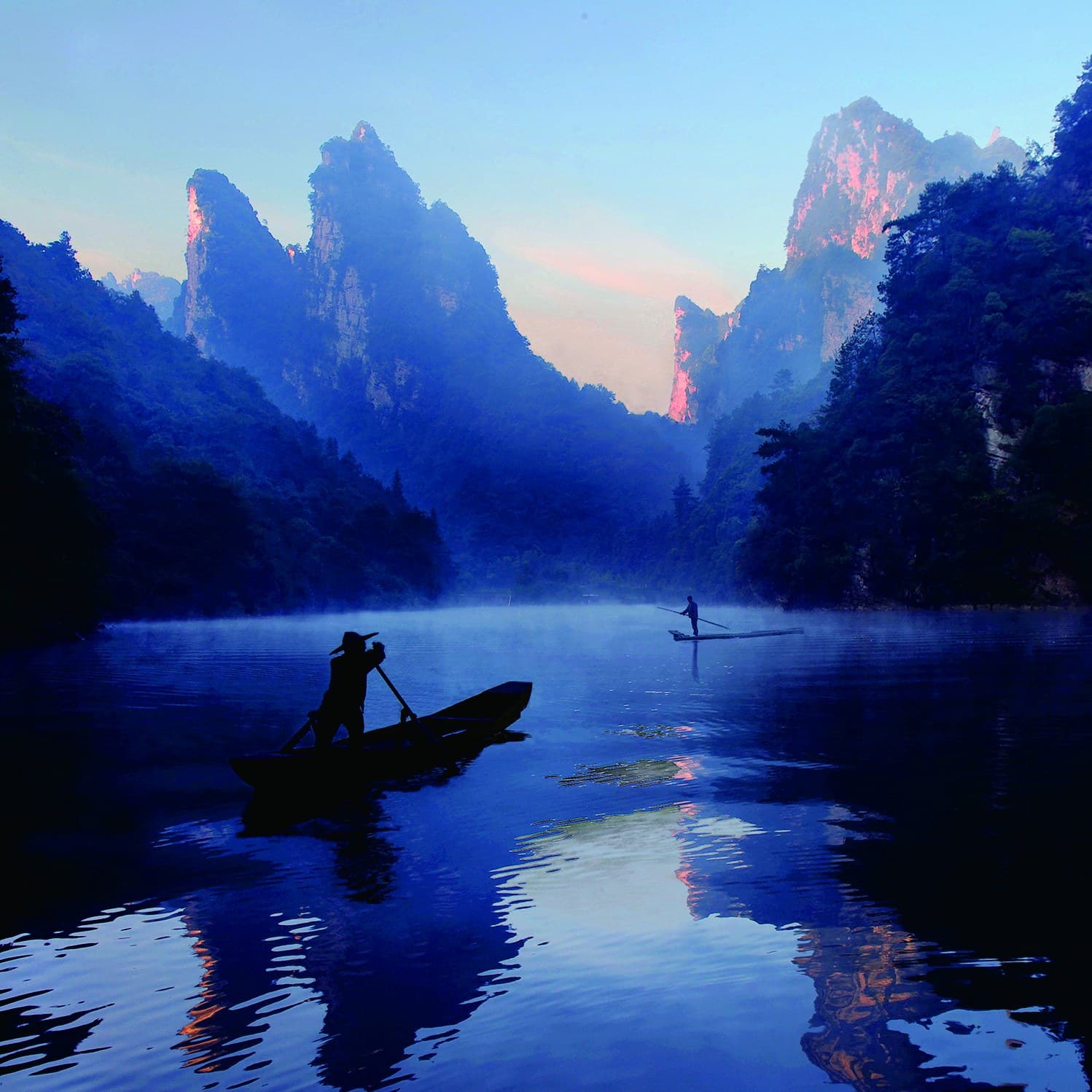
Stillness is part of the contrast.
After the vertical movement of the waterfall, the lake is experienced through reflection, boats and enclosing peaks. The page keeps both moments in one sequence instead of selling them as unrelated stops.
Save the waterfall.
Plan the whole sequence.
Tell us that Baofeng Waterfall matters. We can keep it visible in the approach while checking the realistic combination of access paths, boat operations, steps and ground transfers.