 OFFICIAL TOUR GUIDE MANUAL · PDF PAGE 42
Read the landscape.
Then walk inside it.
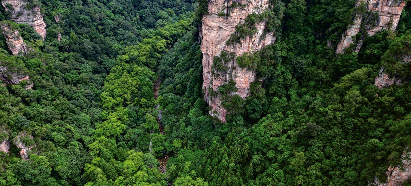
From museum context to a living stream corridor, six field observations reveal how water, structure, gravity and deep time shape Zhangjiajie.
Start with context.
Finish with evidence.
The Manual treats Golden Whip Stream as more than scenery. The route begins with the Geopark Museum, then asks visitors to notice the structures and processes visible beside the water.
It also frames biodiversity as part of the same system. Plant or wildlife sightings vary naturally, so this page promises attentive observation rather than a guaranteed encounter.
Three anchors.
One way of seeing.
The published sequence is concise: Zhangjiajie UNESCO Global Geopark Museum, Golden Whip Stream and Oxygen Bar Plaza. The six observations sit inside that learning progression.
- 01
- Geopark MuseumBuild the geological timeline
- 02
- Golden Whip StreamRead water, rock and forest together
- 03
- Oxygen Bar PlazaComplete the half-day field route
The landscape leaves clues.
Each image and observation below is taken from the official Manual's Nature Education Route. Together they move from orientation to active process and deep time.
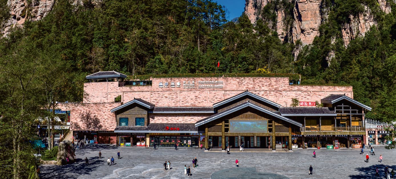
Geopark Museum
Begin with the long geological history behind the Zhangjiajie landform before reading it outdoors.
Golden Whip Stream
See how flowing water continues to carry and shape material through the valley floor.
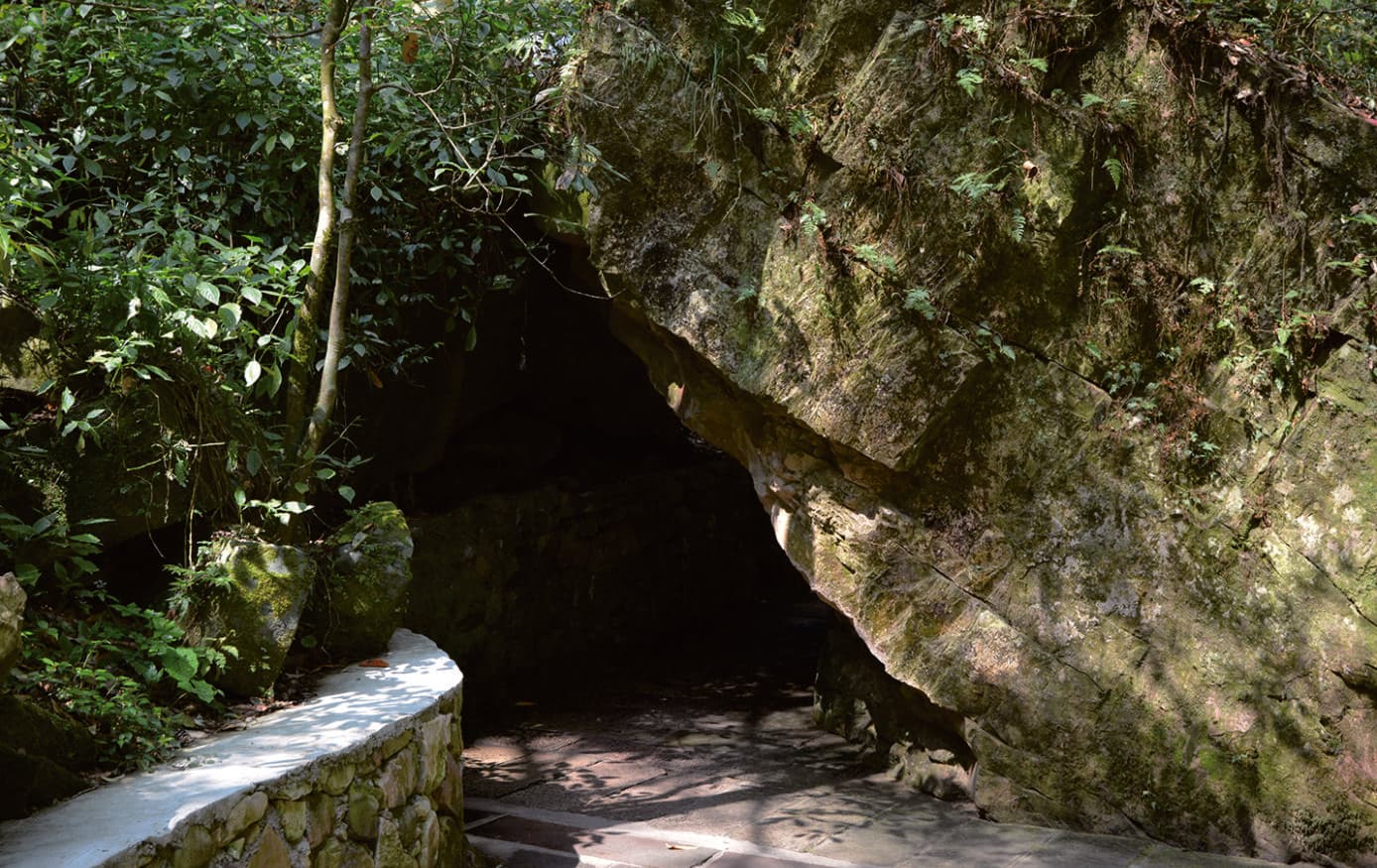
Collapsed Rock Block
A fallen block makes gravity visible as one of the landscape's external shaping forces.
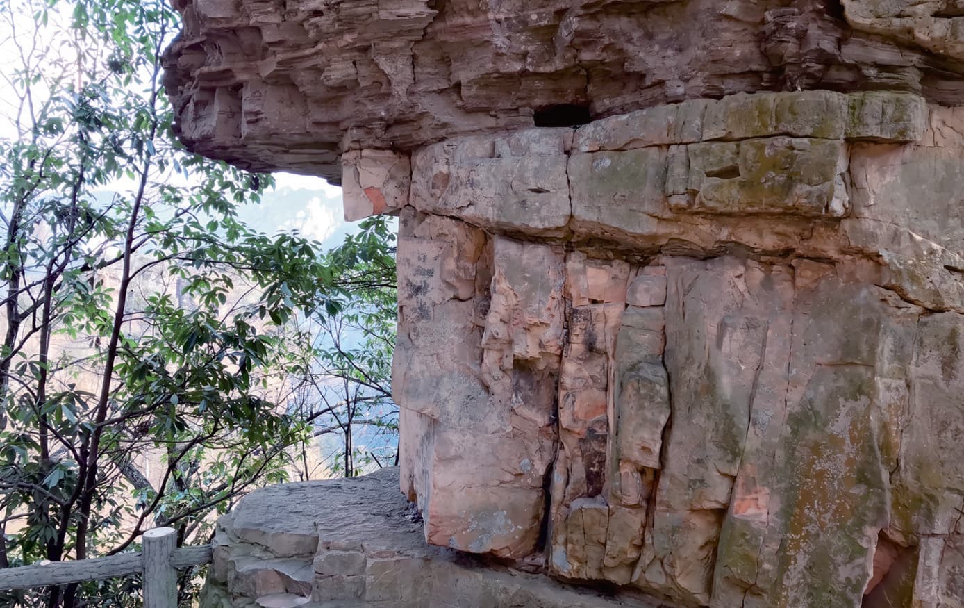
Vertical Joint
Well-developed vertical joints provide the structural basis from which peak-forest forms emerge.
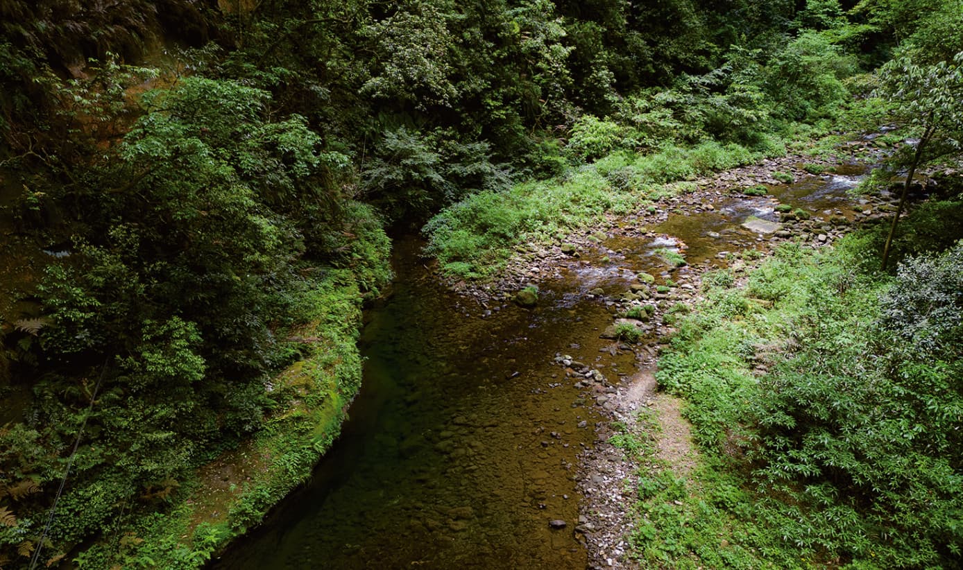
Mid-channel Bar
The stream does not only erode: a bar records how moving water also deposits material.
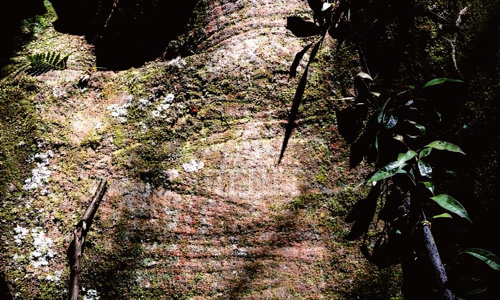
Cross-bedding
Layered sandstone preserves the direction of ancient currents as a record of geological change.
Stone is not still.
Joints divide the rock. Gravity separates blocks. Water removes and carries material. Sandstone preserves older currents beneath the process happening today.
- 01JointStructure creates lines of weakness.
- 02CollapseGravity opens the developing form.
- 03ErodeWater cuts, carries and exposes.
- 04DepositThe stream also lays material down.
Keep the field day
grounded.
Half day
The official Manual presents this as a recommended half-day route.
Wulingyuan urban area
The Manual's recommended accommodation area for this field route.
Outdoor path conditions
Streamside surfaces can be wet or uneven; pace and footwear still matter.
Museum and route access
Opening, interpretation, weather and the practical walking section require current confirmation.
Save the route.
Choose what to notice.
Tell us whether geology, forest ecology, a family learning pace or a longer stream walk matters most. The final proposal can protect that priority while checking access and conditions.
Source: Tour Guide Manual.pdf, PDF page 42, visually reviewed against printed pages 75-76. Official user-confirmed authorised text and photography adapted for responsive web use.