 OFFICIAL TOUR GUIDE MANUAL · RECOMMENDED ROUTE
Three landscapes.
One high route.
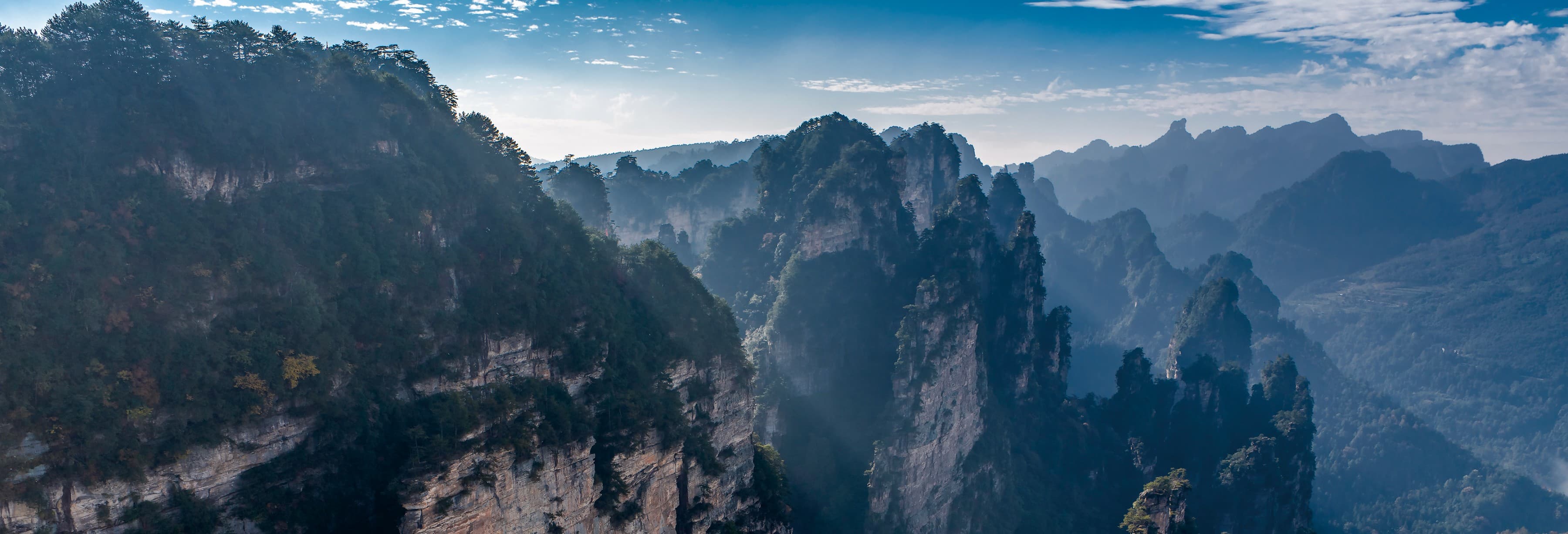
A full mountaintop circuit linking Yuanjiajie's freestanding pillars, Yangjiajie's peak walls and Tianzi Mountain's open panoramas.
Not three stops.
One changing horizon.
The value of this route is contrast: pillar groups become long walls, then dissolve into thousands of distant peaks.
The official guide presents the circuit as a one-day planning reference. Direction, access, scenic transport and what realistically fits still require live confirmation.
Pillars.
Walls. Horizon.
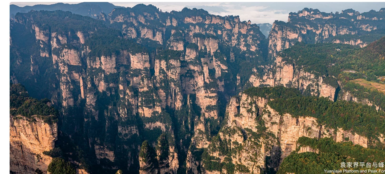
Enter among icons.
Enchanting Terrace, Avatar Mountain and the No. 1 Bridge anchor the first mountain chapter.
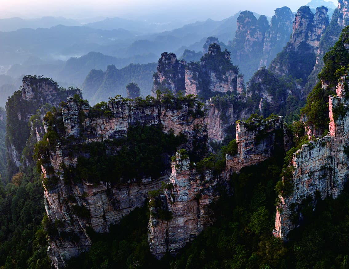
The landscape tightens.
Yangjiajie's Natural Great Wall changes the view from isolated pillars to long, repeated stone ridges.
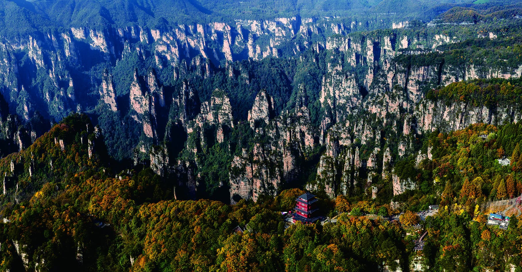
Finish with scale.
Imperial Brush Peak and the West Sea Peak Forest widen the final view into layered distance.
A loop made from
different kinds of movement.
The route alternates between scenic shuttles, the Bailong Elevator, viewpoint walking and the Tianzi Mountain Cableway. It is not one continuous hike.
The day moves in layers.
The manual gives route distances and transport relationships, but the website does not turn them into guaranteed timings.
- 01East GateRoute B scenic shuttle17.4 km to the Bailong Elevator lower station
- 02Bailong ElevatorVertical transfer + walkingElevator uphill, approx. 1.1 km on foot, then a 2.6 km shuttle link
- 03YuanjiajieViewpoint walkingApprox. 1.5 km visitor sequence, then 3.8 km by shuttle
- 04YangjiajieShuttle + walkingApprox. 1 km visitor sequence before the 13.7 km Tianzi link
- 05Tianzi MountainHelong Park walkingApprox. 1.5 km on foot, then 1.8 km by shuttle to the upper cableway
- 06Tianzi CablewayCableway downhillDescend by cableway, then 7.2 km by shuttle to the East Gate
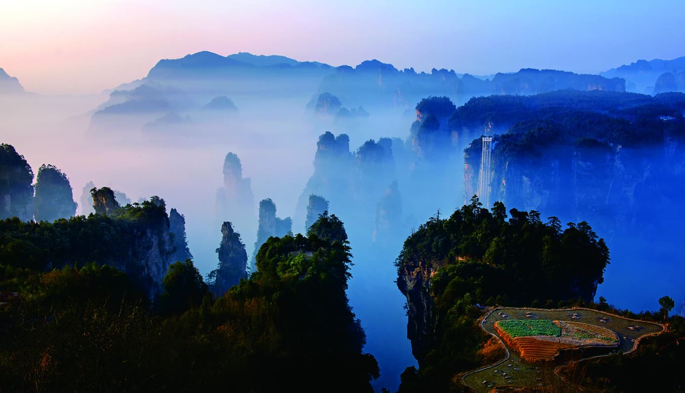
The final view earns its distance.
By the time the route reaches Tianzi Mountain, visitors have already read individual forms and stone walls. The open panorama becomes the conclusion, not just another viewpoint.
“Platform - peak wall - peak forest”LANDSCAPE SEQUENCE DESCRIBED IN THE OFFICIAL GUIDE
Plan the day around
what changes.
Wulingyuan urban area
The manual's recommended accommodation base for this circuit.
Yangjiajie or No. 1 Bridge station
A planning reference, not a dining reservation or current opening guarantee.
The loop may be reversed
The official guide notes East Gate Route A as an alternative entry direction.
Weather, queues and operations
The route only works when the live transport chain and visitor pace align.
Save the loop.
Then make it realistic.
Tell us which of the three mountain chapters matters most. We can protect that priority while checking direction, scenic transport, walking load and current operating conditions.