 OFFICIAL TOUR GUIDE MANUAL · PDF PAGE 60
FIELD NOTE 03 / 04
Let the water
set the pace.
A close-range landscape interest shaped by stream, moss and shade - with the real walking conditions confirmed locally.
Not every Zhangjiajie view
needs a horizon.
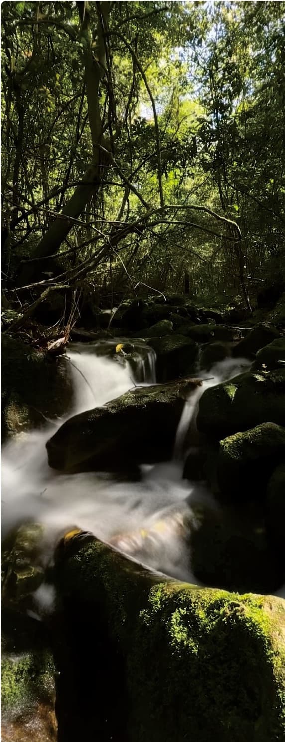
The official Manual describes Baihutang as a hidden valley preserving its original ecological state, with winding streams and scattered sandstone peaks away from artificial development and urban noise.
Here, the published photograph turns attention downward and inward: water moving across dark rock, moss holding light and forest closing around the frame. The Manual does not publish a named trail, route length or walking duration.
Water softens
the whole frame.
The photograph records atmosphere rather than a checklist of landmarks. Its value is in the relationship between canopy, moisture, rock and movement.
- Above
- Filtered canopy light
- At eye level
- Enclosed forest
- Underfoot
- Natural rock and water
Follow attention,
not a fabricated route.
The Manual provides no geographic trail map for this interest. This diagram describes how the published scene can be read, from the wider canopy to the moving water at its centre.
- Forest enclosure
- Moisture and moss
- Flowing water
Four facts
must stay live.
- 01
Access today
Confirm which part of the valley can be visited on the requested date.
- 02
Surface underfoot
Check recent rain, damp rock, natural steps and footwear needs.
- 03
Walking shape
Ask for the real distance, duration and return arrangement before matching the pace.
- 04
Traveller comfort
Fit balance, mobility and photography stops to the people travelling.
Look down.
Then look up.
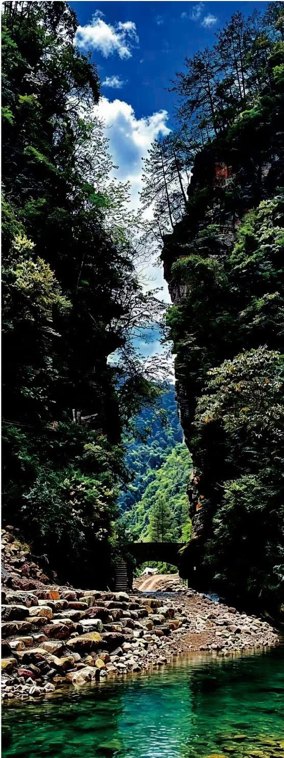
The companion gorge photograph widens the same story: clear water below, forested walls above and a narrow opening through the landscape. It establishes setting, not a guaranteed viewpoint or route.
“A place where only the breeze and flowing water keep you company.”Tour Guide Manual · Baihutang Wild Fun Valley
Save an atmosphere.
Confirm the walk.
A hidden valley, winding streams, scattered peaks and a more original ecological setting.
Access, recent rain, surface condition, walking length, return logistics and traveller fit.
A fixed trail, step-free surface, swimming access, water depth or permanent operating schedule.
The same valley.
A different pace.
The Manual also documents boating at Baihutang. If the low, quiet viewpoint matters more than walking beside the stream, keep the bamboo-raft interest nearby - still subject to current conditions.
Read the bamboo-raft field note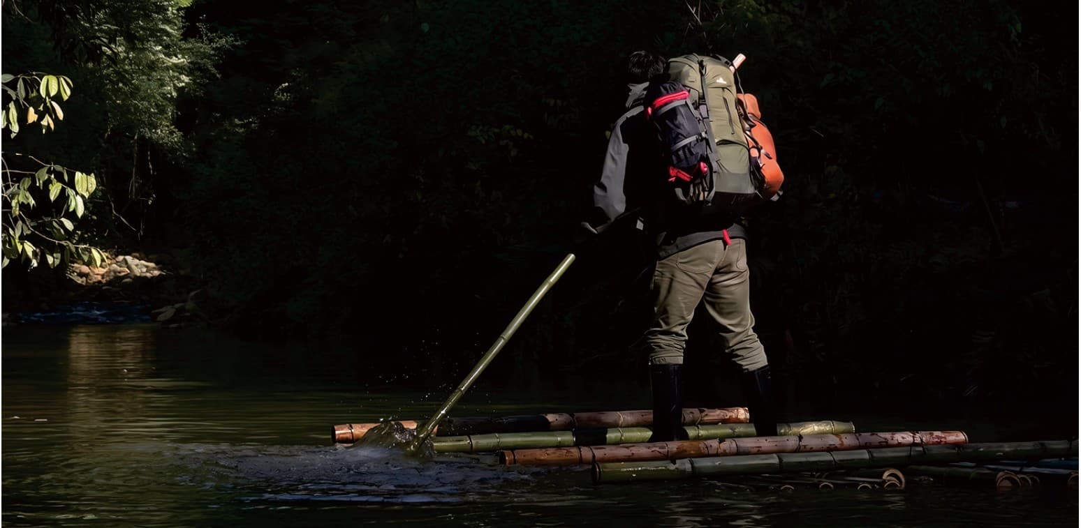
Keep the close view.
Check the ground.
Tell us your dates, preferred walking pace, photography interests and mobility considerations. A local planner can confirm whether this quieter landscape fits the real conditions.
Source: Tour Guide Manual, PDF page 60 / printed pages 111-112. Official text and photography adapted under the user-confirmed authorisation. Access, weather, recent rain, surfaces, route length, walking time and traveller suitability require current confirmation.